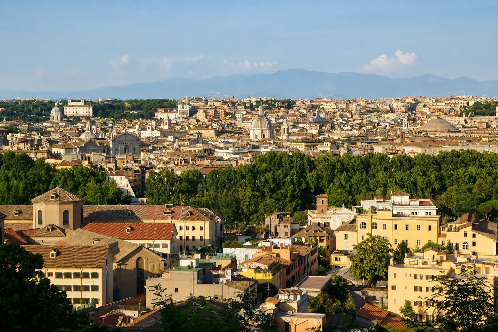
Rome: a three-millennia city in layers
Rome belongs on this map because its World Heritage property expresses an unusually broad sequence of urban, artistic and religious development. UNESCO records it as a cultural, serial and transboundary property shared by Italy and the Holy See, with three component parts. The record was inscribed in 1980 and extended in 1990. This is not simply a pin for one ancient monument: it encompasses the historic centre within the widest 17th-century city walls, Holy See properties with extraterritorial rights and the Basilica of Saint Paul’s Outside the Walls.
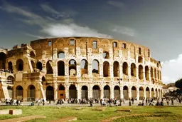
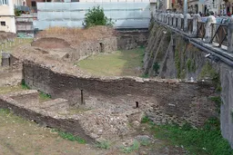
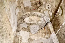
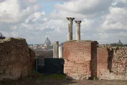
The exact character of Rome is its layering. Forums, the Colosseum, the Pantheon, mausoleums and columns stand alongside fortifications, baths, palaces, early Christian basilicas and Baroque churches. The Christian city developed over the ancient one, reusing spaces, buildings and materials. From the 15th century, papal renewal added Renaissance classicism and Baroque design, visible in places such as Piazza Navona, Piazza del Popolo, Piazza di Spagna and the Capitoline Hill.
What distinguishes Rome from the smaller historic centres on this map is the breadth and complexity of the urban fabric. Its heritage includes not only monuments and squares but also aqueducts, drainage systems, fountains and 19th-century flood walls along the Tiber. Read the property as an evolving city rather than a museum quarter: its significance lies in the integration of archaeological areas, architecture, urban planning and religious buildings across a continuous historical sequence.