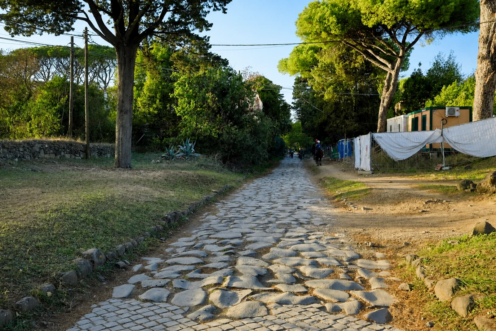
Via Appia. Regina Viarum: Rome’s road as a cultural system
Via Appia. Regina Viarum belongs because it preserves more than the memory of a famous Roman road. Developed from 312 BCE and extending for more than 800 kilometres, it began as a direct military connection between Rome and Capua before reaching Beneventum, Tarentum and Brundisium. Once conquered territories were stabilized, the route supported trade, cultural exchange, agriculture and the growth of cities and new settlements.
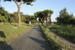
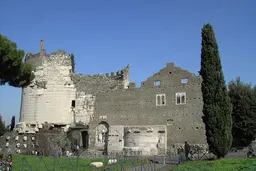
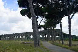
Its defining evidence is infrastructural. The 19-component serial property includes carriageways, land-reclamation works, bridges, canals, aqueducts, public fountains and other engineering elements, alongside triumphal arches, baths, amphitheatres and basilicas. Milestones marked distances; fountains served people and animals; and way stations developed into stopping places. Necropolises, funerary sites and sanctuaries show how the road also structured activity around towns.
This is not a single Roman monument and should not be planned like one. The map pin represents a distributed heritage property whose parts illustrate administration, movement and settlement across a route. The Via Traiana, inaugurated in 109 CE, is included in the supplied account as an extension linking Beneventum and Brundisium more easily along the Adriatic coast. The road continued to serve rural villages, pilgrims and other travellers across later centuries. Inscribed in 2024 as a cultural property under criteria (iii) and (iv), it is best understood through the relationship between road surface, supporting infrastructure and the communities arranged along its course.