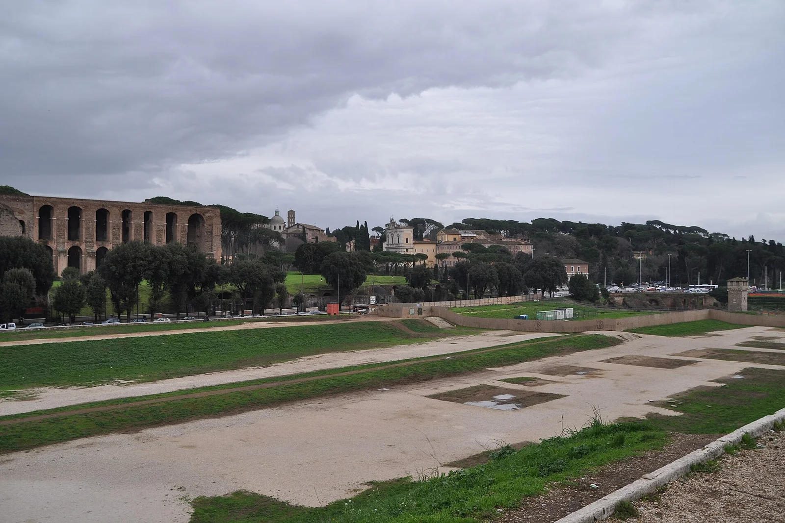
Circo Massimo: broad paths across an open valley
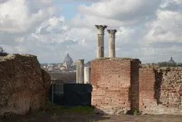
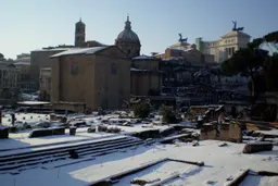
Circo Massimo belongs on a map of Rome’s ancient sites because it offers a different spatial experience from enclosed monuments and concentrated archaeological remains. The named circus is mapped at Via del Circo Massimo, with Metro B Circo Massimo identified as a practical access point. Its broad open paths and valley setting make it especially distinct from the controlled interior of Domus Aurea or the museum environment of Ara Pacis.
The supplied allowance is 30–60 minutes, placing it among the easier stops to fit around other plans. Summer heat exposure is an important counterweight to the generous open space, so the absence of enclosed shelter should inform the choice. The open valley is generally free, but archaeological experiences or events may require tickets; that is a different arrangement from assuming the whole Place has one fixed admission model.
Use this pin when open movement and a large urban archaeological setting matter more than a structured indoor visit. Check current event conditions, access arrangements, and any ticket requirement before setting out, since those elements can change even though the mapped identity and address remain specific.