Normandy’s D-Day coastline: battlefield traces and the landscape of remembrance
The Beaches of the D-Day Landings, Normandy, 1944 are included as a single UNESCO serial property, not as one beach or one museum. The designation comprises six component parts along approximately 80 kilometres of coastline: Utah, Omaha, Gold, Juno and Sword Beaches, together with Pointe du Hoc. It was inscribed in 2026 and classified as cultural under criterion (vi).
What distinguishes this property is the direct association between places and the Allied landings of 6 June 1944, the opening phase of Operation Overlord. The recognised landscape combines the coastline with surviving material evidence: German Atlantic Wall casemates, artillery batteries, fire-control posts and resistance nests, as well as battlefield traces and original wartime equipment.
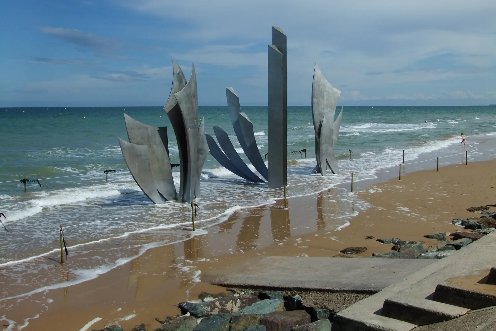
Commemorative places are part of the property’s meaning too, including the American Cemetery at Colleville-sur-Mer. This makes the site different from a purely military-architecture visit and from a general Normandy coastal itinerary. The UNESCO record presents the beaches, remains and memorial landscape together, shaped both by the events of 1944 and by their continuing remembrance. Because the property is distributed, use the map pin as a representative starting point rather than assuming that one viewpoint covers all six components.