The Lake District as a cultural landscape
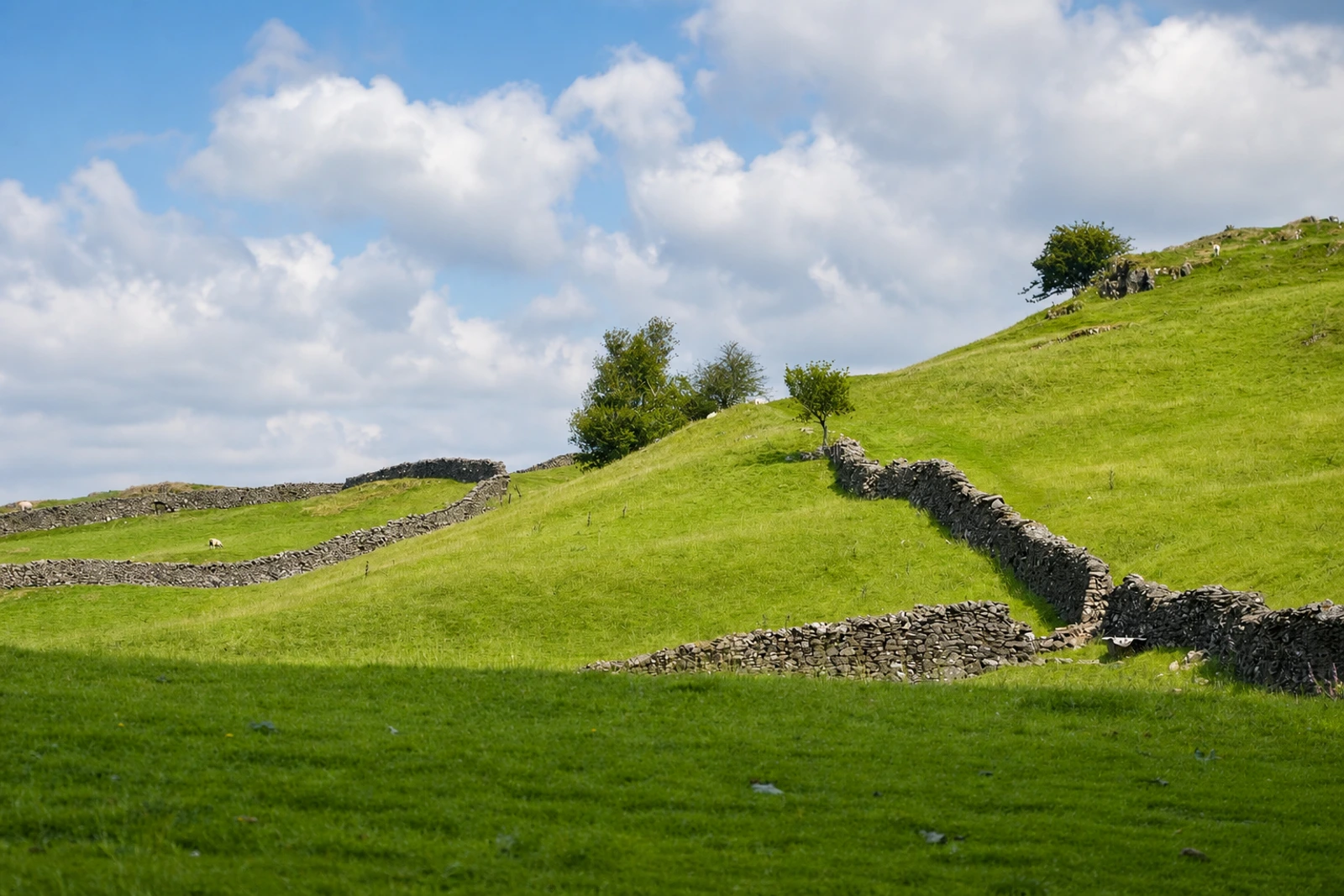
The English Lake District belongs here because UNESCO recognises an interaction between glacial geography, farming and cultural appreciation, not simply a collection of scenic viewpoints. This mountainous area in northwest England covers about 2,292 square kilometres. Narrow valleys radiate from a central massif, with steep hillsides, slender lakes, stone-walled fields and rugged farm buildings creating a landscape shaped by both nature and long-term human use.
Its clearest distinction from the map’s gardens and parks is the continuing agro-pastoral system. For more than 1,000 years, cattle and native sheep breeds including the Herdwick have been raised through common fell-grazing and relatively independent farming adapted to the mountain environment. From the 18th century, Picturesque and Romantic responses added villas, gardens and designed features, while paintings, drawings and words helped develop new ideas about scenic landscapes and public enjoyment.
The property therefore connects physical landscape with conservation history and access. Early preservation initiatives contributed to the National Trust movement and to the modern idea of protected landscapes. This is an extensive property, not a single attraction: the map’s Brockhole anchor is served by bus and seasonal boat, with Windermere the nearest practical rail gateway. Allow one to three days and check transport and attraction bookings before setting out.