

The short answer: 35 by State Party, 31 on this UK map
UNESCO’s United Kingdom State Party page lists 35 properties. This map contains the 31 properties located in England, Scotland, Wales and Northern Ireland. That is why both numbers can be correct: 35 is the State Party total, while 31 is the count within the four constituent regions of the UK used for this guide.
The four properties outside that geographic scope are Gorham's Cave Complex in Gibraltar, Historic Town of St George and Related Fortifications in Bermuda, Gough and Inaccessible Islands, and Henderson Island. They are associated with the United Kingdom State Party for UNESCO reporting, but they are not plotted among the 31 UK-region properties here.
How UNESCO counts a World Heritage property
UNESCO counts a property as one inscription even when it is serial, composite or made up of several components. A single property can therefore cover multiple buildings, monuments, settlements, landscapes or sites spread across a wide area. The map keeps each UNESCO property as one entry rather than turning every component into a separate site.
The same principle applies to transnational inscriptions. Frontiers of the Roman Empire, Moravian Church Settlements and The Great Spa Towns of Europe extend beyond the UK, but each remains one UNESCO property. This map shows the reviewed UK visit anchors for those properties, not additional UNESCO properties.
What the 31-property scope includes
The 31 properties shown here comprise 27 Cultural, 3 Natural and 1 Mixed property. The Cultural group includes historic cities, industrial landscapes, religious and civic sites, archaeological landscapes and major designed places. The Natural group includes coastal, volcanic or geological landscapes and the peatlands of The Flow Country. St Kilda is the sole Mixed property in this scope.
Use the map for geographic orientation rather than assuming that one pin represents one compact attraction. Some entries are walkable urban areas, while others are dispersed landscapes or remote destinations. A serial inscription may require several separate journeys, and a map marker may represent an access anchor rather than every component.
Planning visits from the map
The practical notes under each property identify a nearest station or arrival point, approximate visit length, and the broad access pattern. They are planning aids, not fixed itineraries. Rail, bus, taxi, boat and heritage-rail connections can vary by season, and rural or coastal sites may require more time than the marker suggests.
Reservation advice also applies to a particular attraction or activity, not automatically to the entire UNESCO property. Check live operator, transport, attraction, weather and access information before traveling. Advance planning is especially important for timed admissions, licensed boat trips, remote crossings and dispersed sites.
Why “31 or 35?” appears in search results
The apparent contradiction usually comes from mixing UNESCO’s administrative reporting unit with a visitor’s geographic definition of the UK. UNESCO’s total is attached to the United Kingdom State Party, which includes the four British Overseas Territories properties named above. A count limited to England, Scotland, Wales and Northern Ireland produces 31.
Neither figure increases when a property has multiple components or visit annotations. The map’s purpose is to help travelers understand where the 31 in-scope properties are and how they relate to the wider UNESCO State Party list.
Places in this article
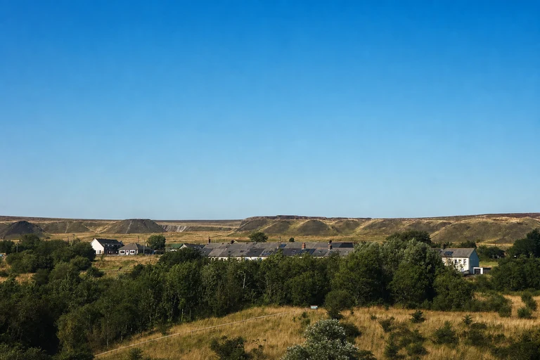
Blaenavon Industrial Landscape
Blaenavon Industrial Landscape is one of Wales’s clearest UNESCO entries for understanding the industrial transformation of the South Wales valleys. The property is dispersed around Blaenavon, so the map marker is a starting point for a landscape rather than a single building.
Abergavenny is the nearest listed station; continue by local bus or taxi. Allow about half a day, and check individual museums and attractions before setting out. Car-free travel is possible with planning.
AI-created illustrative image; not a documentary photographAnyMappy · AI-edited from a rights-cleared reviewed reference · AI-generated editorial imageImage source

Blenheim Palace
Blenheim Palace brings a major historic house and designed landscape into the map’s England group. Its location at Woodstock makes it a practical Oxfordshire stop, although the grounds and interiors can occupy much of a day’s sightseeing schedule.
Reach it by the S7 bus from Oxford Parkway or Oxford. Allow roughly 3–5 hours, and consider advance admission because access is attraction-led. Recheck current transport and admission information.
AI-created illustrative image; not a documentary photographAnyMappy · AI-edited from a rights-cleared reviewed reference · AI-generated editorial imageImage source

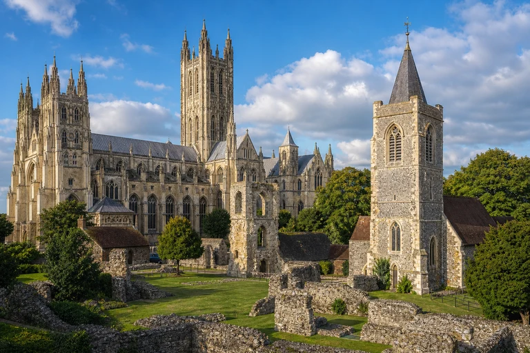
Canterbury Cathedral, St Augustine's Abbey, and St Martin's Church
This serial property links three important historic places in Canterbury, making it a useful example of why one UNESCO property does not always mean one attraction. All three components are within walking range of central Canterbury, but they have separate visit considerations.
Canterbury West is the nearest listed station. Allow half a day to a full day, and check cathedral admission and current access arrangements. The property is well suited to car-free sightseeing.
AI-created illustrative image; not a documentary photographAnyMappy · AI-edited from a rights-cleared reviewed reference · AI-generated editorial imageImage source

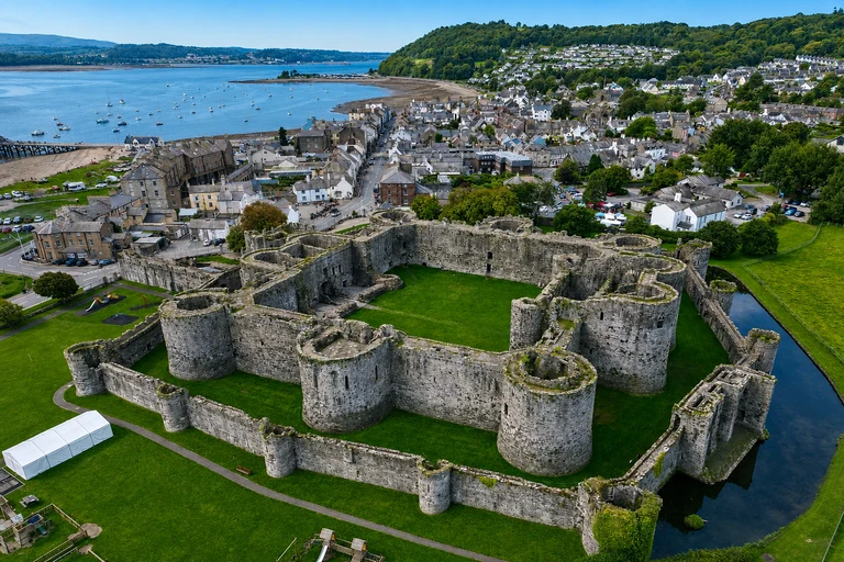
Castles and Town Walls of King Edward in Gwynedd
Castles and Town Walls of King Edward in Gwynedd is a multi-component Welsh property spread across Gwynedd and Anglesey. The map helps identify the region, but it should not be read as a compact one-stop site: the four castle-and-wall components require separate journeys.
Bangor, Llandudno Junction and Harlech are the listed rail access points. Allow one to two days for a broader visit, and check Cadw opening and admission information. Public transport is possible with careful planning.
AI-created illustrative image; not a documentary photographAnyMappy · AI-edited from a rights-cleared reviewed reference · AI-generated editorial imageImage source
,_Wales_01.jpg)
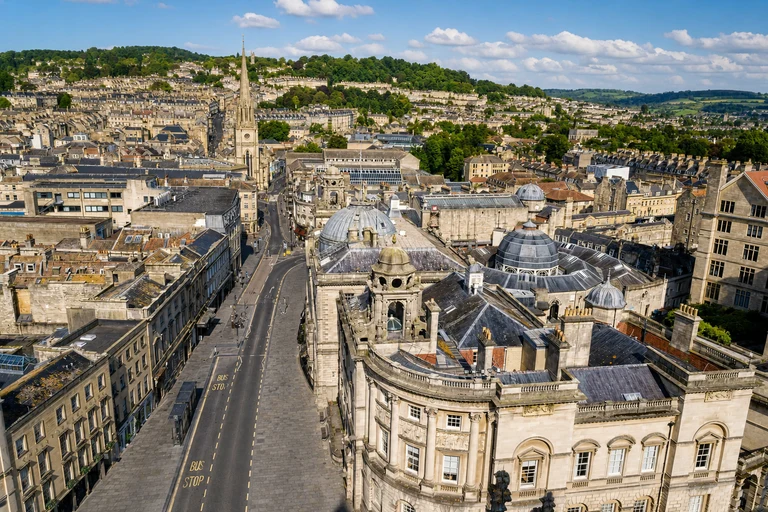
City of Bath
City of Bath places the historic core of Bath on the map as a walkable UNESCO property. It is a strong first- or second-time UK stop because major heritage sights, streets and museums are concentrated around the city center.
Bath Spa is the nearest station, and a full day gives useful time for exploration. Prebook the Roman Baths and other major attractions where appropriate, then recheck live opening and admission information.
AI-created illustrative image; not a documentary photographAnyMappy · AI-edited from a rights-cleared reviewed reference · AI-generated editorial imageImage source

Cornwall and West Devon Mining Landscape
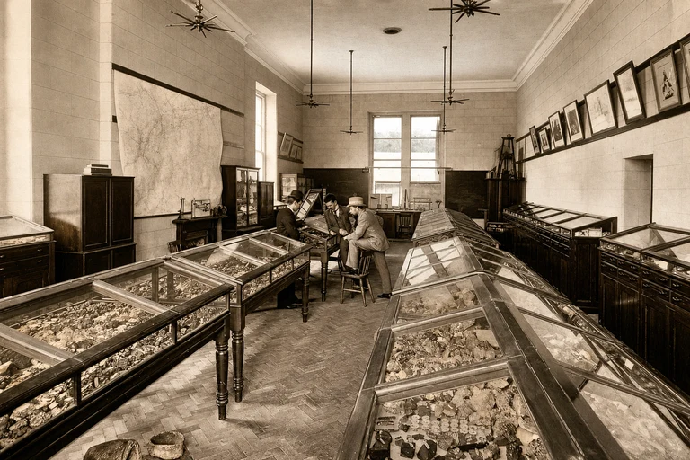
Cornwall and West Devon Mining Landscape is a large, dispersed industrial property rather than one preserved complex. Its mining areas stretch across a broad part of the southwest, so the map’s marker is best used to orient a regional itinerary around selected anchors.
Penzance, Camborne, Redruth, Par and Gunnislake provide the listed rail access points. Allow one to three days, depending on the areas chosen, and check individual mine and museum schedules before traveling.
AI-created illustrative image; not a documentary photographAnyMappy · AI-edited from a rights-cleared reviewed reference · AI-generated editorial imageImage source

Derwent Valley Mills
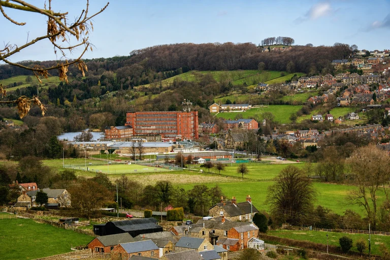
Derwent Valley Mills follows historic mill settlements in Derbyshire and shows how industrial heritage can be experienced along a valley corridor. Selected mill sites and riverside paths make it more connected than some other industrial landscapes on the map.
Cromford and Belper are the nearest listed stations. Allow half a day to a full day, and check individual mill tours and current transport information. Much of the planned route can be approached without a car.
AI-created illustrative image; not a documentary photographAnyMappy · AI-edited from a rights-cleared reviewed reference · AI-generated editorial imageImage source

Durham Castle and Cathedral
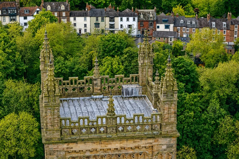
Durham Castle and Cathedral occupies the historic peninsula above Durham, giving this UNESCO property a compact urban setting with a distinctive approach. The map pin is useful for locating the city, while the steep route from the station is part of the practical planning picture.
Durham station is the nearest listed station. Allow about 3–5 hours, and check cathedral access and castle tour availability. The visit is feasible without a car, but comfortable footwear is sensible for the uphill walk.
AI-created illustrative image; not a documentary photographAnyMappy · AI-edited from a rights-cleared reviewed reference · AI-generated editorial imageImage source

Frontiers of the Roman Empire
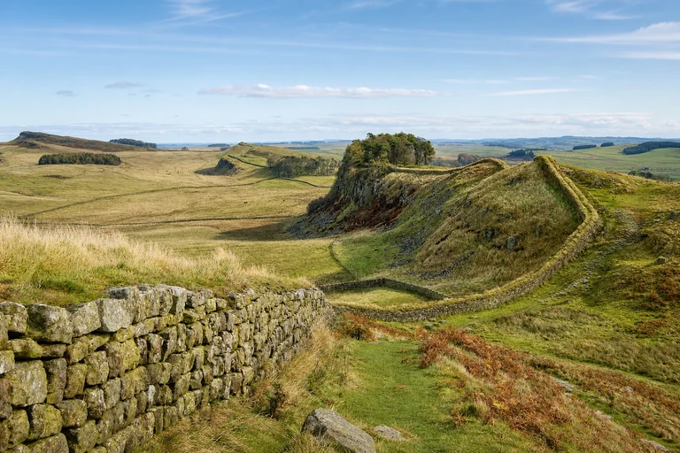
Frontiers of the Roman Empire is a transnational serial property represented here by the UK stretches of Hadrian’s Wall and Antonine Wall. It is included once on this map, with UK visit anchors rather than a separate count for each wall or each country.
Hexham, Newcastle and Falkirk are the listed access points. Allow one to three days for selected sections, and book timed attractions where offered. Recheck walking conditions, public transport and live attraction information.
AI-created illustrative image; not a documentary photographAnyMappy · AI-edited from a rights-cleared reviewed reference · AI-generated editorial imageImage source

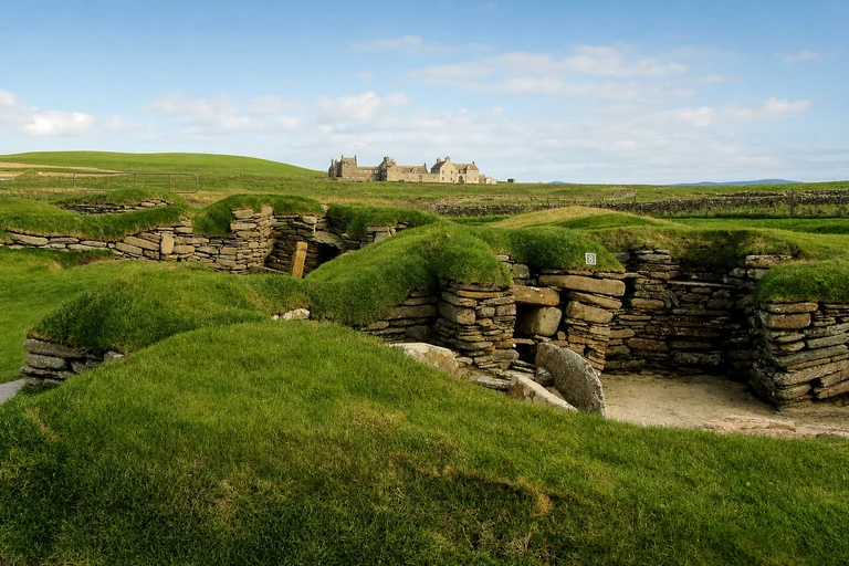
Heart of Neolithic Orkney
Heart of Neolithic Orkney groups four prehistoric monuments across Mainland Orkney, so its single map entry covers a substantial day of island sightseeing. It fits this guide as a clear example of a serial property whose components should not be counted separately.
Use Kirkwall’s bus network after arriving by ferry or flight. Allow a full day and plan connections carefully; Maeshowe requires advance booking. Check current island transport and monument access before traveling.
AI-created illustrative image; not a documentary photographAnyMappy · AI-edited from a rights-cleared reviewed reference · AI-generated editorial imageImage source

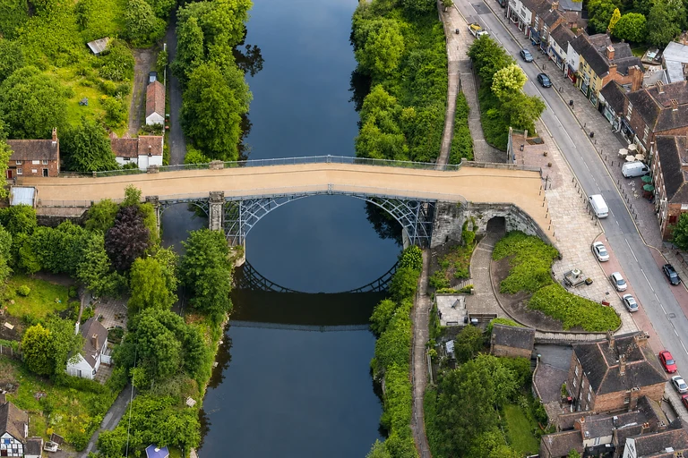
Ironbridge Gorge
Ironbridge Gorge places the story of industrial innovation in a landscape where museums and historic sites are spread through the gorge. The map marker identifies the area, not a single attraction with one entrance.
Telford Central is the nearest listed station, followed by bus or taxi onward. Allow a full day, and check museum passes and special-tour requirements. Car-free travel is possible with planning.
AI-created illustrative image; not a documentary photographAnyMappy · AI-edited from a rights-cleared reviewed reference · AI-generated editorial imageImage source
.JPG)
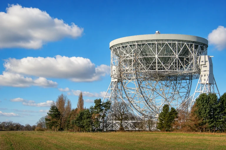
Jodrell Bank Observatory
Jodrell Bank Observatory adds a scientific and technological landmark to England’s UNESCO map. It is a focused stop compared with the larger landscapes nearby, making it easier to combine with a wider Cheshire itinerary if transport timing works.
Goostrey is the nearest listed station, with a country walk or taxi onward. Allow about 2–4 hours and consider Discovery Centre tickets in advance. Recheck the route and visitor information before departure.
AI-created illustrative image; not a documentary photographAnyMappy · AI-edited from a rights-cleared reviewed reference · AI-generated editorial imageImage source

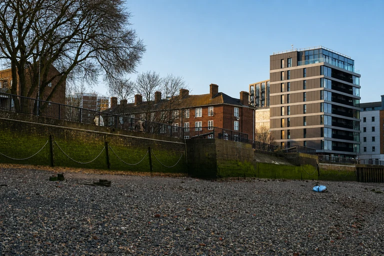
Maritime Greenwich
Maritime Greenwich combines a riverside setting, historic buildings and museum attractions in a concentrated London district. Its map location makes it easy to pair with other central London plans while still preserving time for the hill-and-riverfront cluster.
Reach Greenwich by DLR, rail or Thames boat; Cutty Sark DLR and Greenwich are the listed stations. Allow half a day to a full day, and book paid museum attractions as needed. Check current museum schedules.
AI-created illustrative image; not a documentary photographAnyMappy · AI-edited from a rights-cleared reviewed reference · AI-generated editorial imageImage source
.jpg)
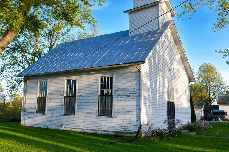
Moravian Church Settlements
Moravian Church Settlements is a transnational property whose UK component is Gracehill in County Antrim. It belongs on this map as one UNESCO property, not as a separate count from the other settlements outside the UK.
Ballymena is the nearest listed station, with bus or taxi onward to Gracehill. Allow about 2–3 hours and check local visitor access before traveling. The component is possible without a car, but connections need planning.
AI-created illustrative image; not a documentary photographAnyMappy · AI-edited from a rights-cleared reviewed reference · AI-generated editorial imageImage source

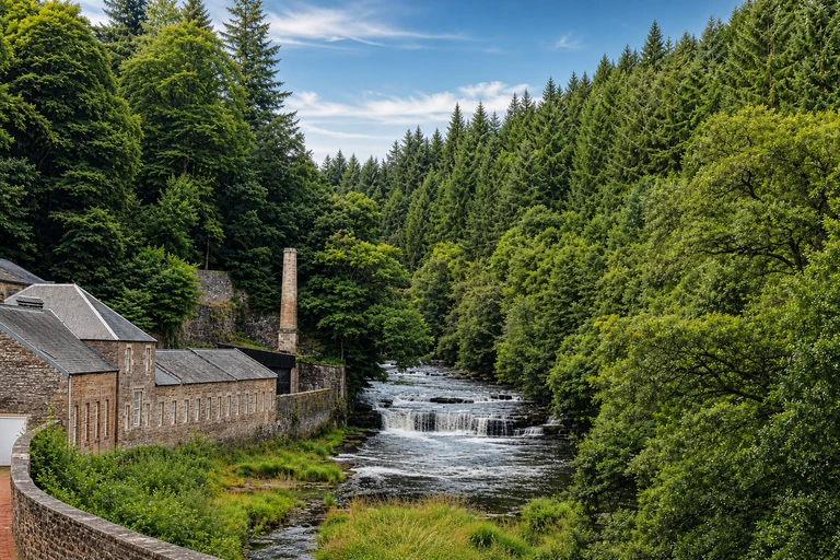
New Lanark
New Lanark is a compact historic mill village in South Lanarkshire and a straightforward Scottish stop for travelers interested in industrial heritage. The map helps place it within the Clyde valley rather than treating it as part of a larger serial inscription.
Lanark is the nearest listed station; continue by bus, taxi or a signed walk. Allow about half a day and check visitor-attraction admission. Car-free access is possible with planning.
AI-created illustrative image; not a documentary photographAnyMappy · AI-edited from a rights-cleared reviewed reference · AI-generated editorial imageImage source


Old and New Towns of Edinburgh
Old and New Towns of Edinburgh covers the historic city center, making it one of the most accessible UNESCO properties on the map. Its broad urban setting rewards walking, but the steep streets can affect how much ground visitors cover in one day.
Edinburgh Waverley is the nearest station. Allow one to two days, especially during busy periods, and book major attractions ahead when appropriate. Recheck current opening and admission arrangements.
AI-created illustrative image; not a documentary photographAnyMappy · AI-edited from a rights-cleared reviewed reference · AI-generated editorial imageImage source

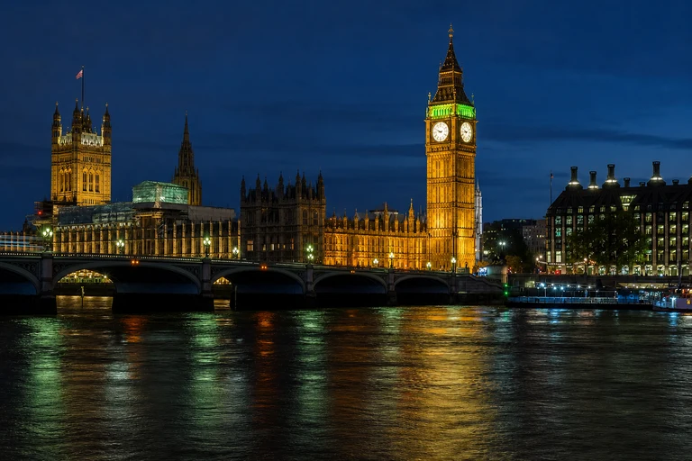
Palace of Westminster and Westminster Abbey including Saint Margaret’s Church
Palace of Westminster and Westminster Abbey including Saint Margaret’s Church places a major historic and civic ensemble in central London. It fits naturally into a first visit to the capital, with several significant buildings concentrated around Westminster.
Westminster is the nearest listed station, with the property accessible by Tube and on foot. Allow about half a day, and prebook Parliament tours and Westminster Abbey where required. Check live visitor rules before arrival.
AI-created illustrative image; not a documentary photographAnyMappy · AI-edited from a rights-cleared reviewed reference · AI-generated editorial imageImage source

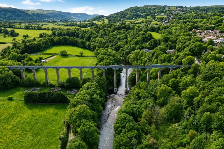
Pontcysyllte Aqueduct and Canal
Pontcysyllte Aqueduct and Canal is a focused Welsh engineering landscape centered on the aqueduct and canal corridor around Llangollen and Cefn Mawr. The map pin provides orientation, while the towpath offers a practical way to experience the setting at walking pace.
Ruabon is the nearest listed station, followed by bus or taxi onward. Allow about half a day, and book boat trips separately if they are part of the plan. Check current operator schedules and towpath information.
AI-created illustrative image; not a documentary photographAnyMappy · AI-edited from a rights-cleared reviewed reference · AI-generated editorial imageImage source

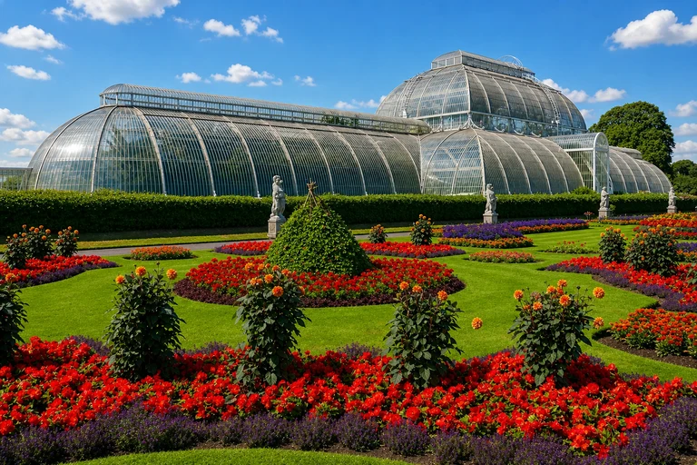
Royal Botanic Gardens, Kew
Royal Botanic Gardens, Kew is an accessible London UNESCO property with extensive gardens and plant collections. Its clear transport connection and self-contained setting make it a manageable addition to a London itinerary, although the grounds deserve several hours.
Kew Gardens station is the nearest listed stop, followed by a short walk. Allow roughly 3–5 hours and consider an advance garden ticket. Recheck current entry arrangements and opening information.
AI-created illustrative image; not a documentary photographAnyMappy · AI-edited from a rights-cleared reviewed reference · AI-generated editorial imageImage source

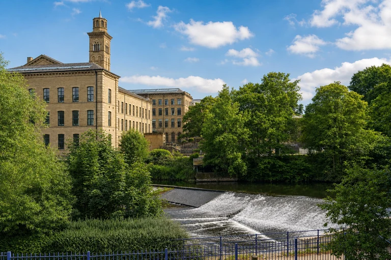
Saltaire
Saltaire is a preserved model village in West Yorkshire, offering a compact way to explore planned industrial heritage. Unlike the map’s more dispersed landscapes, the rail station sits within the village, making the stop especially practical without a car.
Most streets are free to explore, but individual venues have their own arrangements. Allow about 2–4 hours, arrive via Saltaire station and check current venue information before visiting.
AI-created illustrative image; not a documentary photographAnyMappy · AI-edited from a rights-cleared reviewed reference · AI-generated editorial imageImage source

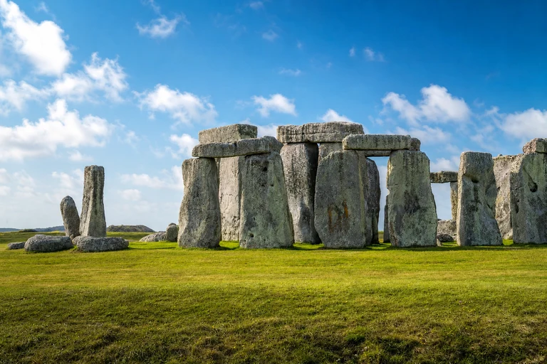
Stonehenge, Avebury and Associated Sites
Stonehenge, Avebury and Associated Sites is a serial archaeological property with components in Wiltshire. It is important to plan it as more than one destination: Stonehenge and Avebury require separate transport arrangements and can each justify substantial time.
Salisbury and Swindon are the listed rail gateways. Allow a full day per component or a long combined day, and strongly consider timed entry for Stonehenge. Recheck bus, attraction and access information before traveling.
AI-created illustrative image; not a documentary photographAnyMappy · AI-edited from a rights-cleared reviewed reference · AI-generated editorial imageImage source

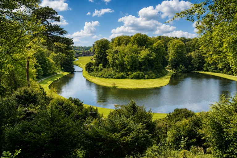
Studley Royal Park including the Ruins of Fountains Abbey
Studley Royal Park including the Ruins of Fountains Abbey combines a designed parkland setting with major historic remains near Ripon. The property works well as a North Yorkshire day stop, but its rural location means the map marker is not a central rail destination.
Harrogate and York are the nearest listed stations, with bus or taxi onward. Allow half a day to a full day and check National Trust admission and current access. Car-free travel requires advance planning.
AI-created illustrative image; not a documentary photographAnyMappy · AI-edited from a rights-cleared reviewed reference · AI-generated editorial imageImage source

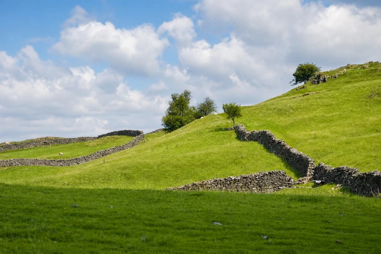
The English Lake District
The English Lake District is a broad cultural landscape rather than one enclosed attraction. The map’s Windermere-area anchor helps visitors orient themselves, while the wider property calls for a flexible plan around local transport, viewpoints and walks.
Windermere is the nearest listed station, and the Brockhole visitor anchor is served by bus and seasonal boat. Allow one to three days, then recheck transport, weather and attraction booking information.
AI-created illustrative image; not a documentary photographAnyMappy · AI-edited from a rights-cleared reviewed reference · AI-generated editorial imageImage source

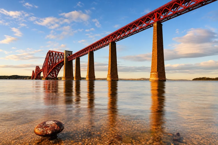
The Forth Bridge
The Forth Bridge is a focused Scottish engineering landmark best understood from viewpoints on either side of the Firth of Forth. Its map location makes it easy to add to a wider Edinburgh-area itinerary without confusing viewpoints with additional UNESCO properties.
North Queensferry and Dalmeny are the nearest listed stations. Allow about 2–3 hours; public viewpoints do not require a reservation. Check rail services and any temporary access notices before traveling.
AI-created illustrative image; not a documentary photographAnyMappy · AI-edited from a rights-cleared reviewed reference · AI-generated editorial imageImage source

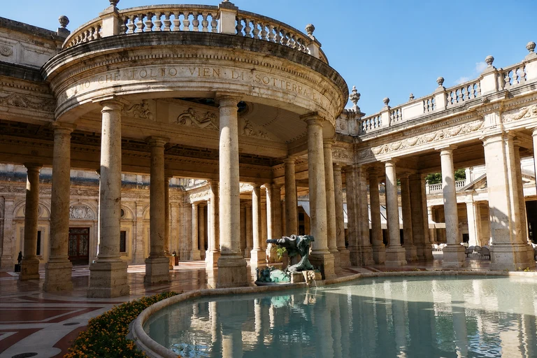
The Great Spa Towns of Europe
The Great Spa Towns of Europe is a transnational serial property whose UK component is Bath; the other ten spa towns are outside the UK. It appears once on this map and should not be added to the UK total as a second Bath property.
Bath Spa is the nearest station, and a full day suits the UK component. Book Roman Baths admission and spa experiences separately where needed, then check current attraction and transport information.
AI-created illustrative image; not a documentary photographAnyMappy · AI-edited from a rights-cleared reviewed photograph · AI-edited non-documentary editorial thumbnailImage source

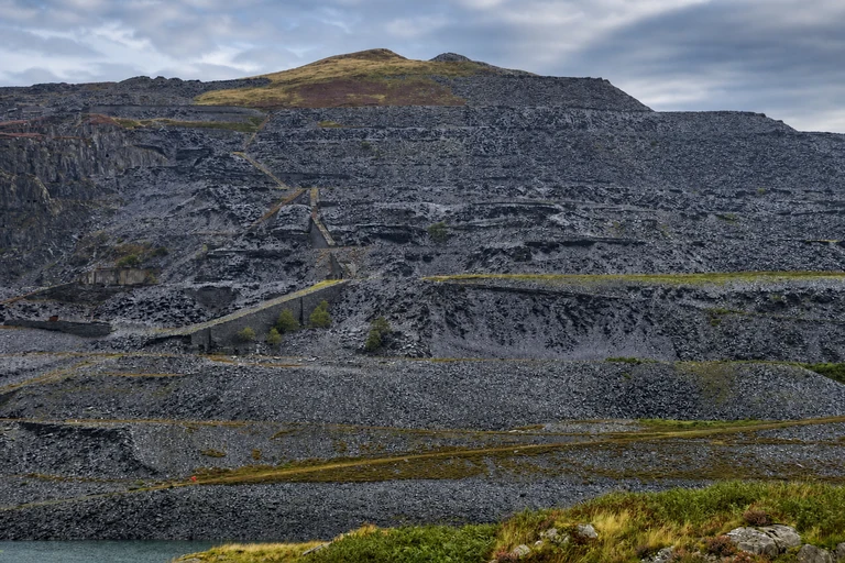
The Slate Landscape of Northwest Wales
The Slate Landscape of Northwest Wales is a dispersed Welsh property with six components across a mountainous region. Its single map entry is therefore a regional planning point, not a promise that all components can be covered in one short visit.
Bangor, Blaenau Ffestiniog and Tywyn are the listed rail access points. Allow one to three days and check museums, quarries, heritage railways and bus services before traveling. Selected anchors are possible without a car.
AI-created illustrative image; not a documentary photographAnyMappy · AI-edited from a rights-cleared reviewed reference · AI-generated editorial imageImage source

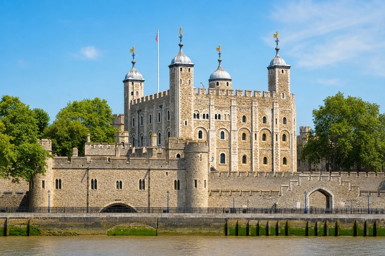
Tower of London
The Tower of London is a concentrated historic property on the Thames and one of the simplest UNESCO stops to locate on the map. Its central position makes it easy to combine with other London districts, though the interior visit itself needs meaningful time.
Tower Hill and Tower Gateway are the nearest listed stations, with river-boat access also available. Allow at least three hours and consider timed admission. Recheck current visitor arrangements before arrival.
AI-created illustrative image; not a documentary photographAnyMappy · AI-edited from a rights-cleared reviewed reference · AI-generated editorial imageImage source

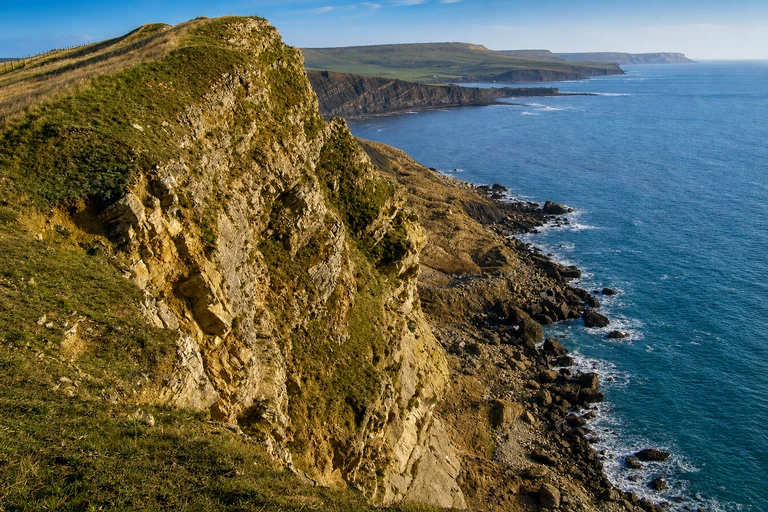
Dorset and East Devon Coast
Dorset and East Devon Coast is a long natural coastal property, widely known by the alias Jurassic Coast. The map’s reviewed town and path anchors are practical starting points, but the marker does not represent the entire coastline or one general admission gate.
Axminster, Weymouth and Wareham are the listed rail access points. Allow one to three days, with no general admission required for the property itself; check transport, weather, paths and guided activities before setting out.
AI-created illustrative image; not a documentary photographAnyMappy · AI-edited from a rights-cleared reviewed reference · AI-generated editorial imageImage source

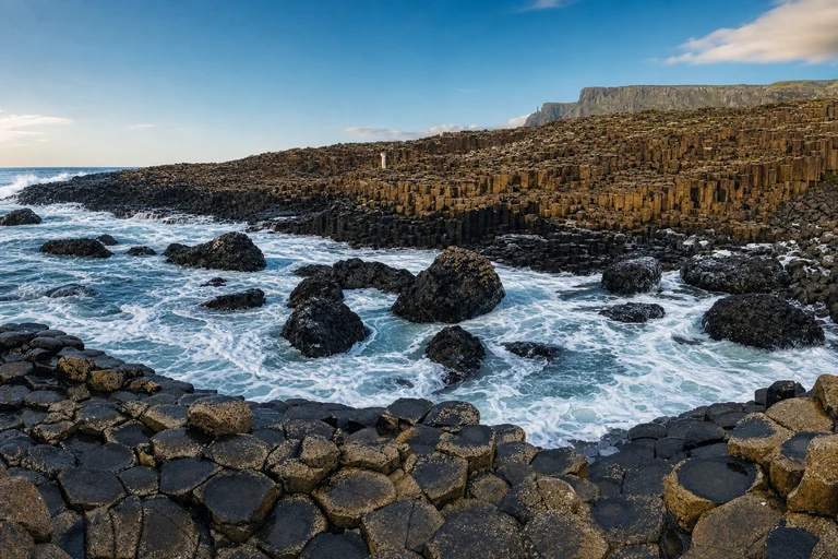
Giant's Causeway and Causeway Coast
Giant's Causeway and Causeway Coast brings Northern Ireland’s dramatic natural coastline into the 31-property map. The listed visit area is a useful anchor for a coastal itinerary, while conditions and transport can shape how long the stop takes.
Coleraine is the nearest listed station, followed by bus to the visitor area. Allow about 2–4 hours and check visitor-experience parking and admission arrangements. Recheck weather and live transport information.
AI-created illustrative image; not a documentary photographAnyMappy · AI-edited from a rights-cleared reviewed reference · AI-generated editorial imageImage source

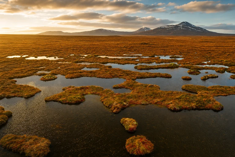
The Flow Country
The Flow Country is a natural UNESCO property across Caithness and Sutherland, represented for visitors by the Forsinard anchor. Its sensitive peatland setting means this is a planned, weather-aware stop rather than a conventional attraction with unrestricted access.
Forsinard is the nearest listed station. Allow about 2–4 hours, use marked access only, and check RSPB visitor information and weather conditions. Reconfirm current access guidance before traveling.
AI-created illustrative image; not a documentary photographAnyMappy · AI-edited from a rights-cleared reviewed reference · AI-generated editorial imageImage source

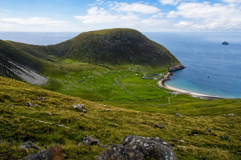
St Kilda
St Kilda is the map’s only Mixed property, combining natural and cultural significance in a remote Outer Hebrides setting. Hirta and Village Bay are the visit anchors, but the journey itself is a major part of the planning: this is not a casual day trip from the mainland.
There is no rail access; licensed boats depart from the Outer Hebrides and crossings are weather dependent. Allow a full-day expedition or longer, and make an advance licensed boat booking essential. Check operator, sea-condition and access information immediately before departure.
AI-created illustrative image; not a documentary photographAnyMappy · AI-edited from a rights-cleared reviewed reference · AI-generated editorial imageImage source

How many UNESCO World Heritage Sites are in the UK?
UNESCO lists 35 properties under the United Kingdom State Party. Thirty-one are located in England, Scotland, Wales and Northern Ireland, which is the geographic scope of this map.
What are the four UNESCO properties outside the 31 UK-region count?
They are Gorham's Cave Complex in Gibraltar, Historic Town of St George and Related Fortifications in Bermuda, Gough and Inaccessible Islands, and Henderson Island.
Do multiple components count as multiple UNESCO sites?
No. A serial or composite property remains one UNESCO property even if it contains several components or requires multiple visits.
Does a transnational UNESCO property count once or several times?
It counts as one UNESCO property. This map shows only the reviewed UK visit anchors for transnational properties, while the inscription itself may extend into other countries.
How many Cultural, Natural and Mixed properties are in the 31-site scope?
The 31-property scope contains 27 Cultural properties, 3 Natural properties and 1 Mixed property.