Roman frontiers across Britain: walls, zones and buried archaeology
Frontiers of the Roman Empire belongs on this map because the UK-side remains are part of a single transboundary UNESCO property shared with Germany. UNESCO treats the designation as a serial property with 420 component parts, counted here once. Its UK expression comprises Hadrian’s Wall and the Antonine Wall, rather than two separate World Heritage properties. That structure is the first thing to understand when reading the pins.
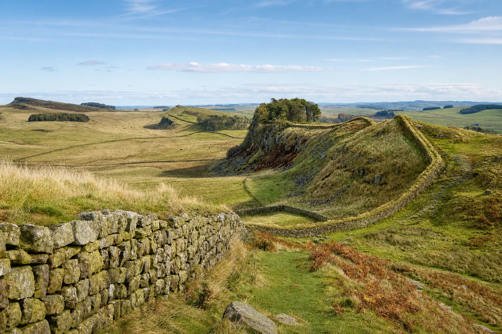
Hadrian’s Wall was built on the orders of Emperor Hadrian in AD 122 at the northern limits of Britannia. Its line ran between the mouth of the River Tyne and the Solway Firth, with a further series of intervisible military installations along the Solway coast. Look beyond the wall itself: the vallum, forts, marching camps, roads and other features formed a controlled military zone across northern Britain, with visible and buried archaeology on, behind and beyond the frontier.
The Antonine Wall crosses central Scotland between the River Forth and the River Clyde. Together, the two British sections show how Roman technical knowledge, organisation and surveying produced different frontier systems. The property was not solely a military bulwark; UNESCO also describes economic and cultural limits, with influence extending across the boundary. UK visit anchors are dispersed, so the map’s rail guidance points towards Hexham, Newcastle or Falkirk rather than implying one continuous attraction.