Nord-Pas de Calais: coal extraction as a whole landscape
The Nord-Pas de Calais Mining Basin belongs because it preserves the territorial consequences of coal extraction, not just isolated industrial machinery. Extending across the departments of Nord and Pas-de-Calais, the property follows the French part of the northwest European coal seam across a broad plain. UNESCO classifies it as cultural under criteria (ii)(iv)(vi) and inscribed it in 2012. Its serial structure links 108 recorded component parts into a wider landscape.
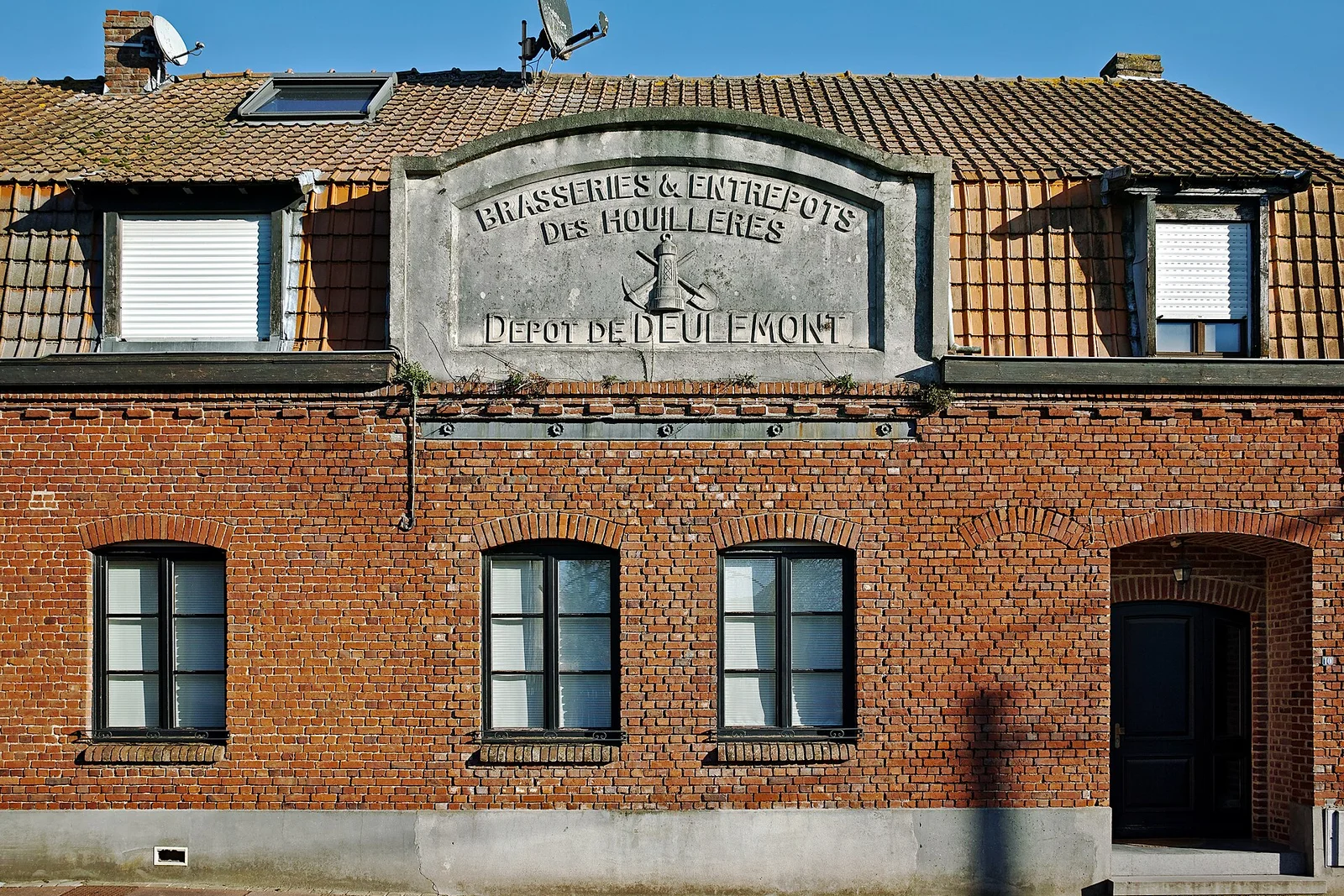
The key distinction is scale and social completeness. Pit heads, headgear and residual industrial buildings sit alongside slag heaps, subsidence ponds, woods, canals, railways and conveyors. Worker estates, garden cities, detached housing and tenements connect extraction to everyday life, while schools, churches, hospitals, stations, town halls, union premises and sports facilities show how communities were organised. The property also records international exchanges of mining methods, housing ideas and labour migration.
Read the basin at three levels: the technical object or building, the intermediate territory of a pit or worker estate, and the broad horizon of landscapes shaped by mining. This layered approach prevents the common mistake of seeking one definitive monument. UNESCO notes that industrial evidence has uneven integrity, even though the economic and social values remain legible. The basin’s history includes danger, major disasters such as Courrières, worker solidarity and the spread of unionist and socialist ideals. Its wide component network makes current local information essential for planning.