The Dolomites: limestone towers, glaciers and deep geological time
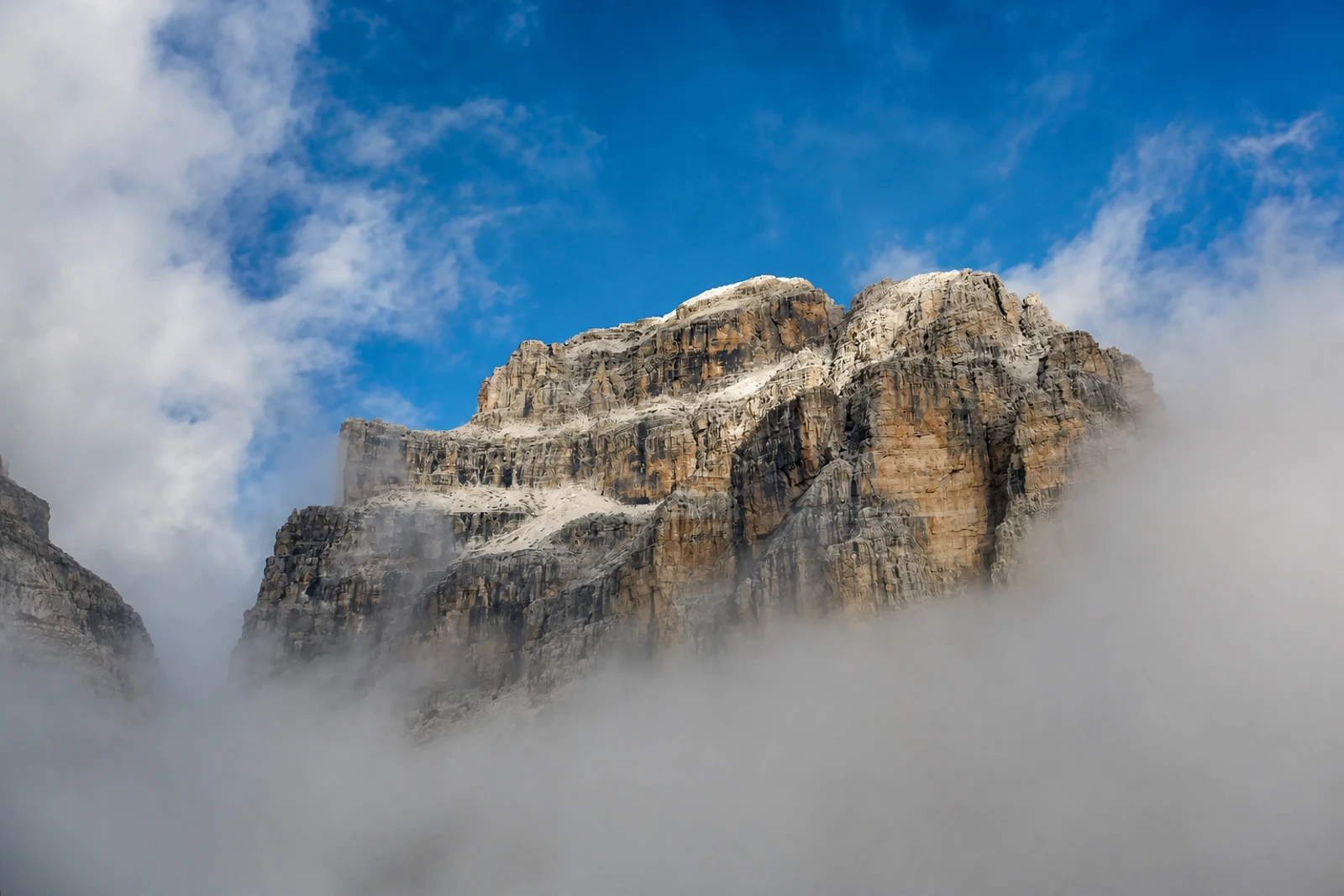
The Dolomites belongs on this map for its natural values, not simply because it is a dramatic mountain destination. Inscribed in 2009 under criteria (vii) and (viii), the serial property brings together nine areas across the northern Italian Alps. Its 18 peaks rise above 3,000 metres within 141,903 hectares, but the defining feature is the combination of pale vertical rock, forests, meadows, ravines and broad mountain views.
What distinguishes the property from a single scenic mountain range is the density and variety of its earth-science evidence. Pinnacles, spires, towers, ledges, plateaux, glacial landforms and karst systems record erosion, tectonism and glaciation. Some cliffs rise more than 1,500 metres. The limestone also preserves Mesozoic carbonate platforms, described as fossilized atolls, fossil records and internationally important Triassic type sections, connecting the visible landscape with the evolution of marine life.
On the map, treat the Dolomites as a connected serial system rather than one viewpoint or town. Its natural processes remain active, including landslides, floods and avalanches, and the property includes parts of a national park, provincial nature parks, Natura 2000 sites and a natural monument. Buffer zones and shared management across five provinces help protect the relationship between the nine component areas.