Dorset and East Devon Coast: a geological archive in motion
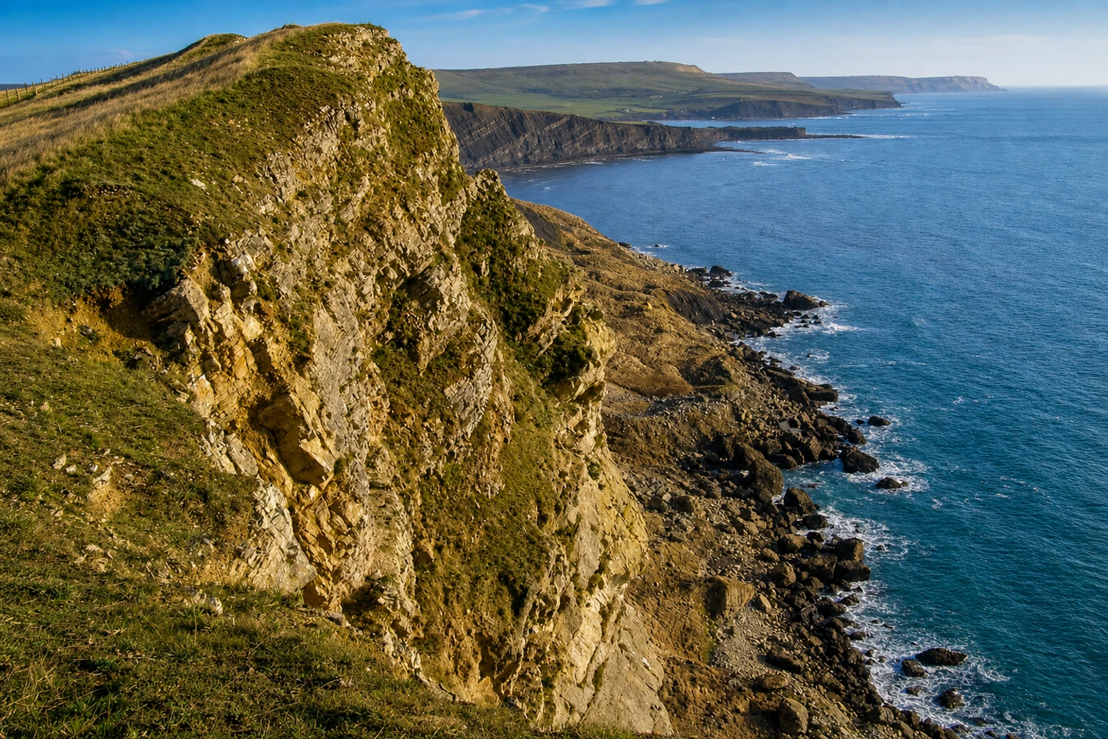
Dorset and East Devon Coast is a natural serial property made up of eight sections along 155 kilometres of largely undeveloped coastline. Inscribed in 2001 under criterion (viii), it belongs because its cliff exposures preserve an almost continuous sequence of Triassic, Jurassic and Cretaceous formations spanning approximately 185 million years. The UNESCO property is therefore much broader than any single viewpoint or town, with boundaries following the coast from mean low water to the cliff top or back of the beach.
Its distinction lies in the combination of evidence and process. Internationally important fossil localities contain vertebrate and invertebrate fossils from marine and terrestrial environments, while coastal landforms demonstrate geomorphological change. Erosion and mass movement keep exposures active and support continuing fossil discovery, so the coast is not a static geological display. The property has also contributed to geology, palaeontology and geomorphology for over 300 years and remains a teaching, training and research resource.
Plan it as a sequence of selected coastal anchors rather than a single admission attraction. Axminster, Weymouth and Wareham are the practical rail gateways listed, and one to three days is the suggested scale. There is no general admission, but transport and guided activities should be checked. The map’s planning boundary is particularly important here: coastal protection, visitor management and fossil research, acquisition and conservation all form part of the property’s ongoing management.