Height of Land Scenic Overlook: a marked pull-off on Maine Route 17
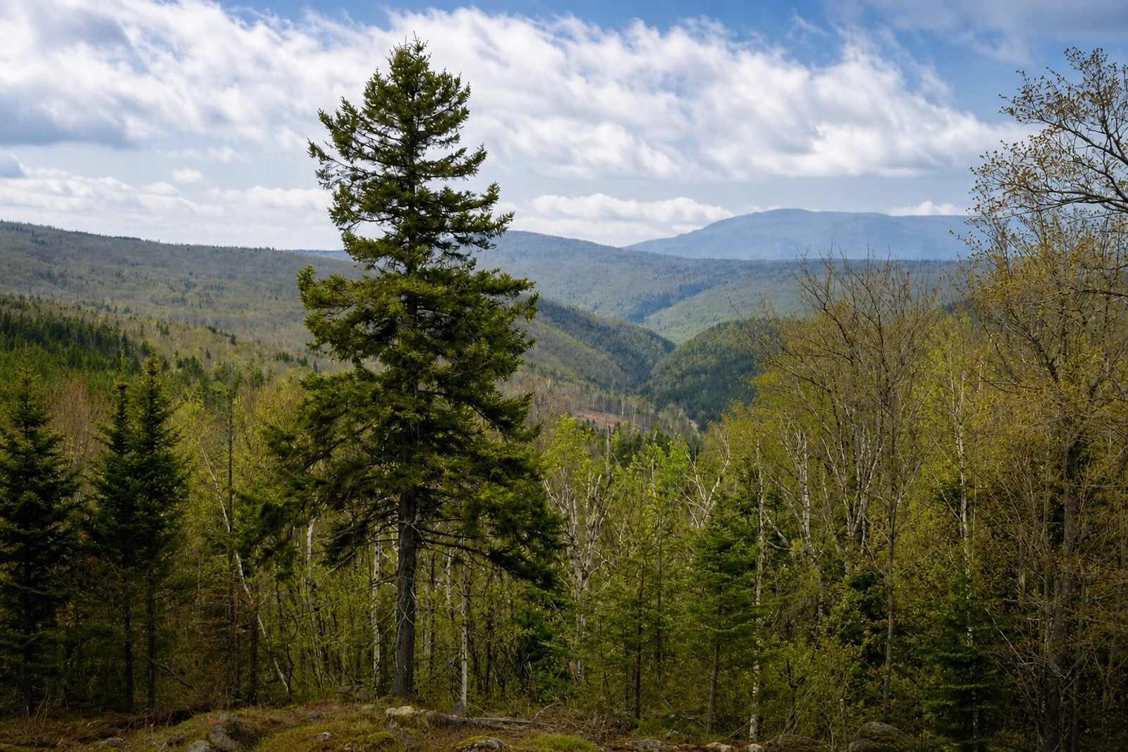
Height of Land Scenic Overlook is the map’s clearly defined lake-viewing pause on Maine Route 17 in Township E, within the Rangeley Lakes National Scenic Byway. It belongs because it offers a specific place to stop along that route, rather than asking travelers to interpret a whole byway or the wider Rangeley area as one attraction.
The visit is intentionally light on logistics: plan for a 15–30 minutes roadside lake overlook, with no attraction admission listed. That makes it a useful contrast to Flume Gorge or Kent Falls, where the map describes a more substantial walk or park visit. The important access instruction is equally specific: use the marked pull-off and remain clear of highway traffic.
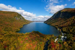
Height of Land is listed with a late September to early October planning window. That range cannot establish 2026 peak color, so check Maine’s weekly foliage report and same-day road alerts before choosing it as a route anchor. The exact Maine Route 17 location, byway connection, marked stopping area, and absence of attraction admission are the grounded details that set this Place apart.