
.jpeg)
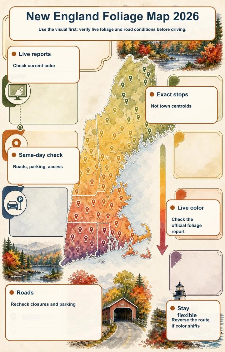
Use the visual first; verify live foliage and road conditions before driving.
- Live reportsCheck current color
- Exact stopsNot town centroids
- Same-day checkRoads, parking, access
- Live colorCheck the official foliage report
- RoadsRecheck closures and parking
- Stay flexibleReverse the route if color shifts
How to use the 2026 foliage map
Start with the map pins rather than town names. These are 30 exact managed stops, including overlooks, waterfalls, covered bridges, state parks, national park sites, and scenic-road pull-offs. Select a pin to compare its state, historical planning window, visit length, access caveat, fee note, and nearby scenic drive.
The route is arranged broadly from northern mountain and lake country toward southern New England. That reflects the usual progression from higher elevations and northern areas toward southern and coastal locations, but weather can change the sequence. Use the map to select a corridor, then confirm the live report and same-day notices before setting out.
2026 color status: exact peak dates are TBA
Exact 2026 color is not yet a fixed date on this dashboard. Each historical window is a useful range for trip planning only, never a guarantee that a particular pin will be at peak color. The live state reports are the authority once current conditions are published.
The supplied stop data was checked on Aug. 23, 2026, but conditions can change after that check. Before driving, review New Hampshire, Vermont, Maine, Massachusetts, Connecticut, and Rhode Island foliage updates as relevant to your route, along with park and road notices.
A north-to-south planning window
Begin with the northern New Hampshire, northern Vermont, and western Maine pins when your travel dates fall in late September or early October. The supplied historical ranges for these mountain corridors generally run from late September into early October, with some Vermont and Maine locations extending farther into October.
Central and southern Vermont, Acadia, the Berkshires, and the Connecticut River Valley generally fit early to mid-October planning. Connecticut and Rhode Island locations generally belong later in October. Treat those groupings as route-planning guidance, not a forecast or ranking.
Check official reports before choosing the day
Use the live New Hampshire foliage report for the Kancamagus Highway, Franconia Notch, and Crawford Notch stops. Vermont’s foliage reporting is the key check for Route 100, Route 108, Appalachian Gap, the Northeast Kingdom, Woodstock, Quechee, and Mount Philo. Maine’s weekly report covers western Maine and the Acadia area, while Massachusetts DCR notices matter for Mount Greylock and Mount Sugarloaf.
For the southern stops, check Connecticut’s current foliage report and state-park alerts, plus Rhode Island foliage conditions and DEM notices. A report can help identify the best region, but it does not replace checking the specific road, trail, parking area, reservation system, or facility on your planned day.
Build a corridor, not a checklist
The map works best when you group pins along one scenic drive. The Kancamagus Highway links several New Hampshire stops; Franconia Notch and Crawford Notch create separate mountain corridors. Vermont clusters around Routes 100, 108, 17, 4, 5A, and Woodstock, while western Maine follows Routes 17 and 26. Acadia requires a separate park-focused plan.
Choose one or two anchor stops and add nearby short walks or overlooks only after checking parking and opening conditions. This leaves room for weather, traffic, crowds, and a live report that shifts your preferred area. Do not assume that every pin can be completed in one day.
Road, parking, and reservation checks matter
Several scenic roads and summit routes are seasonal, narrow, winding, or unsuitable for large vehicles. Smugglers’ Notch, Mount Philo, Mount Greylock, and Mount Sugarloaf require especially careful access checks. Waterfalls and gorges can have slick rocks, changing currents, barriers, or trail conditions that affect the visit.
Parking is a major part of the foliage plan. Popular New Hampshire overlooks, Flume Gorge, Kent Falls, Jordan Pond, and Acadia locations can be busy, while Kent Falls may close temporarily when parking reaches capacity. Cadillac Mountain requires a vehicle reservation during the designated season; Acadia also requires an entrance pass. Check current fees and operating rules rather than relying on assumptions.
Let the map stay flexible
A successful 2026 foliage route is a live decision: select a region from the historical north-to-south pattern, compare the latest official report, and verify the exact stop before leaving. The pins make that process more precise by showing what each location offers and what could limit access.
Keep a nearby alternative in the same corridor, especially for crowded overlooks, seasonal roads, and reservation-controlled sites. Exact peak color remains TBA until current official reports confirm conditions, so use this map to make a better plan—not to promise a date.
Places in this article
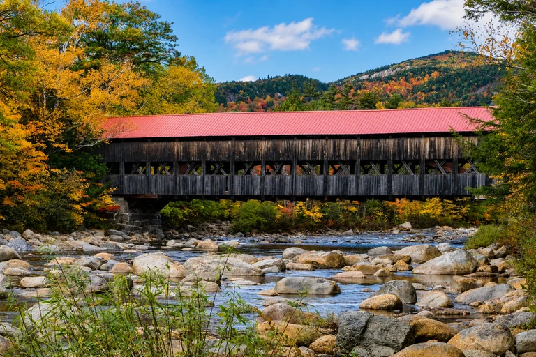
Albany Covered Bridge — New Hampshire
This Kancamagus Highway stop combines a covered bridge, river scenery, and a short walk, making it an easy anchor or family-friendly break on a foliage drive. Plan around the historical late-September to early-October window, then verify the live New Hampshire report.
The bridge is a short walk from parking. Check White Mountain National Forest alerts and whether a recreation pass is required at signed sites before departure.
AI-created illustrative image; not a documentary photographAnyMappy · AI-edited from a rights-cleared reviewed reference · AI-generated editorial imageImage source
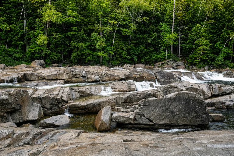
Lower Falls Scenic Area — New Hampshire
Lower Falls adds a river cascade and picnic setting to a Kancamagus Highway itinerary. Its historical planning window is late September to early October, but the current New Hampshire foliage report should determine timing.
This roadside recreation area can be crowded. Rocks may be slick and water conditions can change quickly; check White Mountain National Forest notices and recreation-pass requirements.
AI-created illustrative image; not a documentary photographAnyMappy · AI-edited from a rights-cleared reviewed reference · AI-generated editorial imageImage source

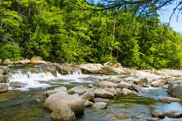
Rocky Gorge Scenic Area — New Hampshire
Rocky Gorge is useful for a short photography stop with a bridge, gorge, and river views on the Kancamagus Highway. Its historical window is late September to early October, subject to the live New Hampshire report.
A short path reaches the bridge and gorge, but swimming is not permitted in the gorge. Confirm White Mountain National Forest alerts and any signed recreation-pass requirement before visiting.
AI-created illustrative image; not a documentary photographAnyMappy · AI-edited from a rights-cleared reviewed reference · AI-generated editorial imageImage source

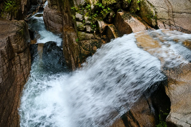
Sabbaday Falls — New Hampshire
Sabbaday Falls gives a Kancamagus route a waterfall walk rather than only roadside viewpoints. The broad forest trail is about 0.6 miles round trip, with a historical late-September to early-October planning window.
Verify current trail conditions and White Mountain National Forest notices. A recreation pass may be required, and the 45- to 75-minute visit can take longer when parking or foot traffic is heavy.
AI-created illustrative image; not a documentary photographAnyMappy · AI-edited from a rights-cleared reviewed reference · AI-generated editorial imageImage source
.jpg)
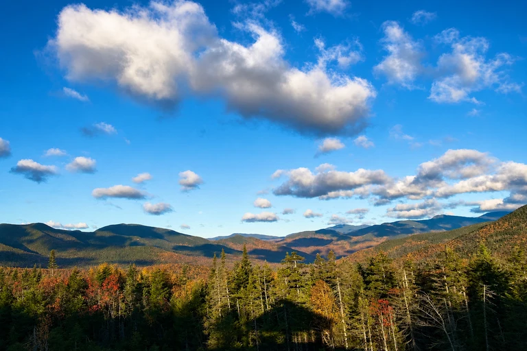
Pemigewasset Overlook — New Hampshire
This paved Kancamagus Highway overlook is a quick way to add a broad mountain view, especially when building a route around shorter stops or sunset. Plan within the historical late-September to early-October range, then check New Hampshire’s live report.
Parking fills quickly on peak weekends. Follow signed parking and pass requirements; the suggested visit length is about 15 to 30 minutes.
AI-created illustrative image; not a documentary photographAnyMappy · AI-edited from a rights-cleared reviewed reference · AI-generated editorial imageImage source
.jpg)
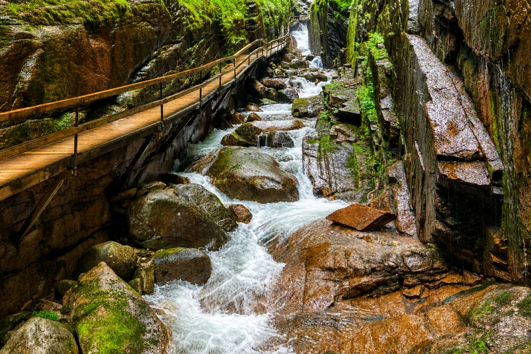
Flume Gorge — New Hampshire
Flume Gorge is a substantial Franconia Notch stop for travelers who want a ticketed gorge walk, waterfalls, and a longer outing. Its historical planning window is late September to early October, pending the live New Hampshire report.
The full loop includes stairs and uneven surfaces. Paid admission and timed entry may apply during foliage season, so verify reservations, operating details, and current conditions before driving.
AI-created illustrative image; not a documentary photographAnyMappy · AI-edited from a rights-cleared reviewed reference · AI-generated editorial imageImage source

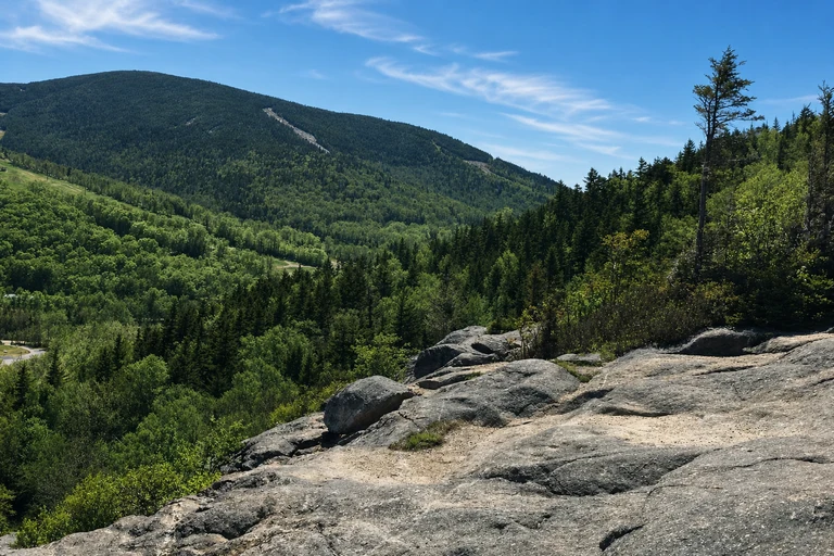
Artist’s Bluff — New Hampshire
Artist’s Bluff provides a lake-and-mountain viewpoint for travelers willing to trade a roadside stop for a short, steep hike. It fits the historical late-September to early-October window, but current New Hampshire conditions should guide the choice.
The route can be steep and muddy. Use the signed trailhead and legal parking only, and allow roughly 1.5 to 2.5 hours depending on trail and crowd conditions.
AI-created illustrative image; not a documentary photographAnyMappy · AI-edited from a rights-cleared reviewed reference · AI-generated editorial imageImage source

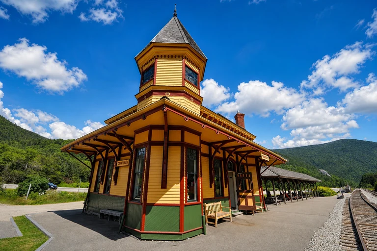
Crawford Notch Depot — New Hampshire
Crawford Notch Depot works as a historic, roadside valley stop on US 302, offering a different experience from the area’s overlooks and waterfalls. Its historical late-September to early-October window requires confirmation from New Hampshire’s live report.
Roadside access is near the historic depot, but seasonal facilities and trails may vary. Confirm current access and parking rules before planning a longer visit.
AI-created illustrative image; not a documentary photographAnyMappy · AI-edited from a rights-cleared reviewed reference · AI-generated editorial imageImage source

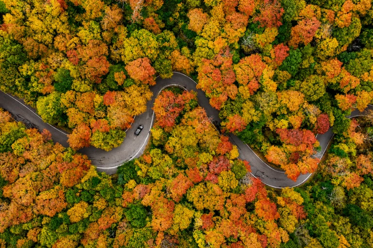
Smugglers’ Notch State Park — Vermont
Smugglers’ Notch is a strong Vermont choice for dramatic rock walls, boulders, and a short walk along Route 108. Its historical window is late September to early October, subject to Vermont’s live foliage updates.
The notch road is narrow, seasonal, and unsuitable for large vehicles. Check closure status before driving, and verify whether the park day-use fee applies when facilities are operating.
AI-created illustrative image; not a documentary photographAnyMappy · AI-edited from a rights-cleared reviewed reference · AI-generated editorial imageImage source

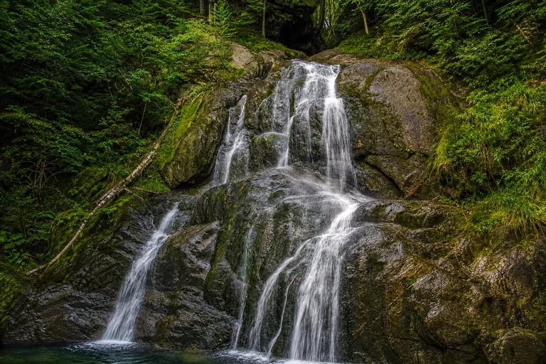
Moss Glen Falls — Vermont
Moss Glen Falls is an efficient Route 100 waterfall stop for a north-to-south Vermont drive. The historical planning range runs from late September to mid-October, with Vermont’s live reports providing the current signal.
Use the signed pull-off and boardwalk, and never stop in the travel lane. No attraction admission is normally required, but roadside safety remains the key access consideration.
AI-created illustrative image; not a documentary photographAnyMappy · AI-edited from a rights-cleared reviewed reference · AI-generated editorial imageImage source
_2_(49437678742).jpg)
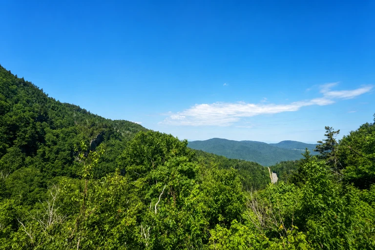
Appalachian Gap — Vermont
Appalachian Gap offers a quick mountain-pass viewpoint on Route 17 and can connect well with a central Vermont foliage loop. Its historical window is late September to early October, to be checked against Vermont’s current report.
The road is steep and winding. Use designated pull-offs and avoid blind curves; no attraction admission is listed.
AI-created illustrative image; not a documentary photographAnyMappy · AI-edited from a rights-cleared reviewed reference · AI-generated editorial imageImage source

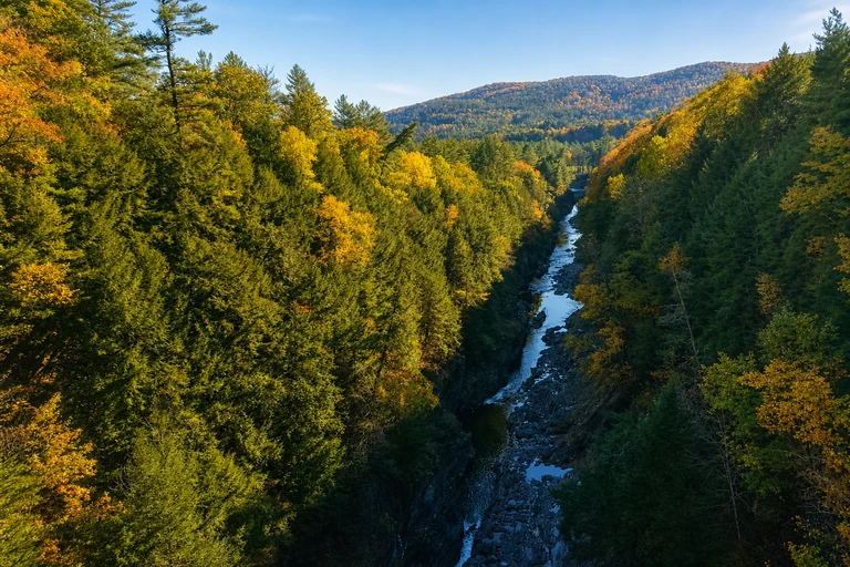
Quechee Gorge — Vermont
Quechee Gorge is a useful southern Vermont anchor for a bridge-level gorge view or a longer park trail. Its historical planning window is early to mid-October, subject to Vermont’s live foliage reports.
Stay behind barriers on the signed bridge walkways or park trail. A state-park day-use fee may apply, and the visit typically takes 45 to 90 minutes.
AI-created illustrative image; not a documentary photographAnyMappy · AI-edited from a rights-cleared reviewed reference · AI-generated editorial imageImage source
.jpg)
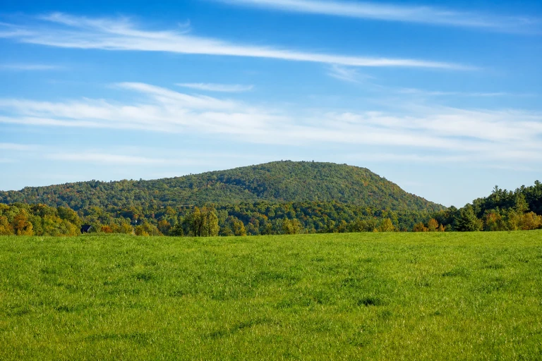
Mount Philo State Park — Vermont
Mount Philo gives a Champlain Valley itinerary a summit road and lake view, with hiking as an alternative. It fits the historical early-to-mid-October range, but Vermont’s live report and park notices should determine the day.
The summit road is narrow and seasonal. Check whether vehicle access is operating, use the hike if appropriate, and expect a state park day-use fee during the operating season.
AI-created illustrative image; not a documentary photographAnyMappy · AI-edited from a rights-cleared reviewed reference · AI-generated editorial imageImage source

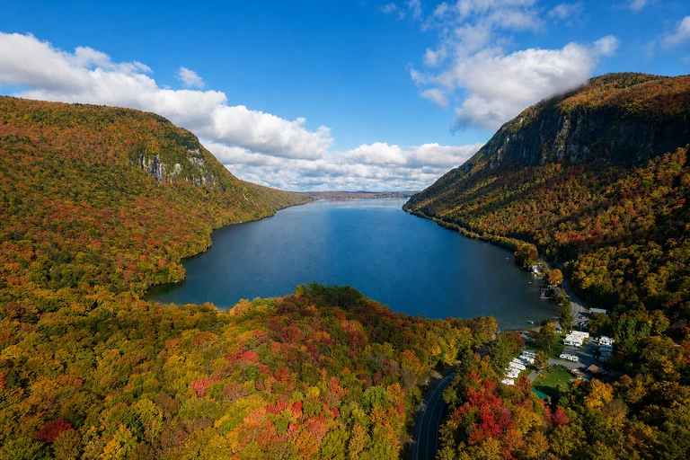
Lake Willoughby South Beach — Vermont
Lake Willoughby adds a Northeast Kingdom lake-and-mountain viewpoint to a late-September or early-October Vermont plan. It is especially useful when the map’s northern locations are reporting stronger color than southern corridors.
Use designated beach and roadside parking. Access rules vary by season and managed area, while cold water and changing weather require attention to current notices.
AI-created illustrative image; not a documentary photographAnyMappy · AI-edited from a rights-cleared reviewed reference · AI-generated editorial imageImage source

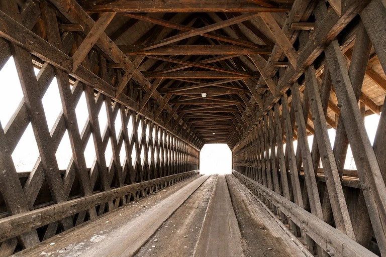
Middle Covered Bridge — Vermont
Middle Covered Bridge pairs a covered bridge with a walkable Woodstock village stop, making it a practical early-to-mid-October addition to a southern Vermont route. It can be combined with nearby managed and historic sites without treating the village as a single map centroid.
Park legally in town and explore on foot. The bridge remains part of a working street network, so keep clear of traffic; no attraction admission is listed.
AI-created illustrative image; not a documentary photographAnyMappy · AI-edited from a rights-cleared reviewed reference · AI-generated editorial imageImage source

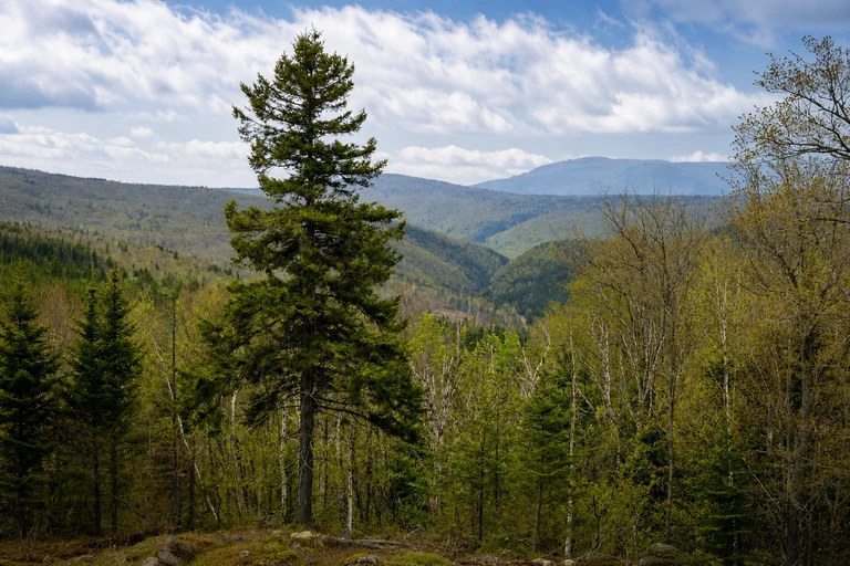
Height of Land Scenic Overlook — Maine
Height of Land is a quick Rangeley Lakes National Scenic Byway stop for broad lake views and western Maine color. Its historical late-September to early-October window should be compared with Maine’s weekly foliage report.
Use the marked pull-off and remain clear of highway traffic. There is no attraction admission, but roadside positioning is essential.
AI-created illustrative image; not a documentary photographAnyMappy · AI-edited from a rights-cleared reviewed reference · AI-generated editorial imageImage source

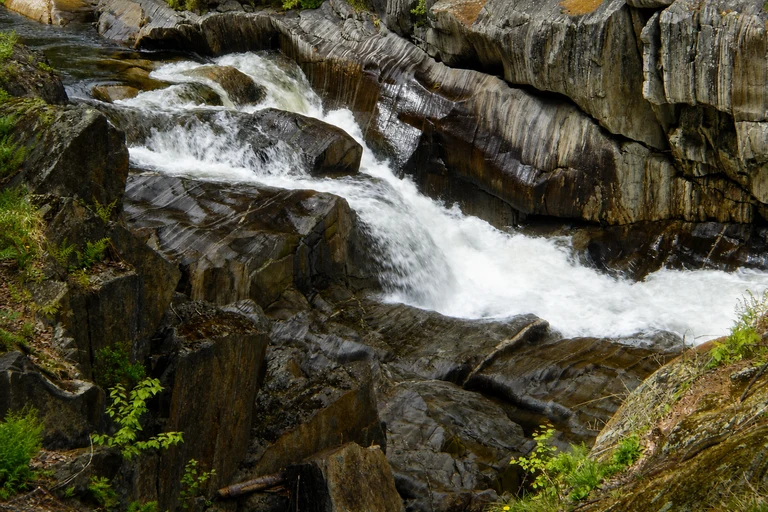
Coos Canyon — Maine
Coos Canyon offers a roadside gorge, river, and picnic break along the Rangeley Lakes National Scenic Byway. It fits the historical late-September to early-October planning range, pending Maine’s weekly report.
Stay on maintained access points because wet rocks and river currents can be hazardous. The roadside rest area has no attraction admission listed.
AI-created illustrative image; not a documentary photographAnyMappy · AI-edited from a rights-cleared reviewed reference · AI-generated editorial imageImage source

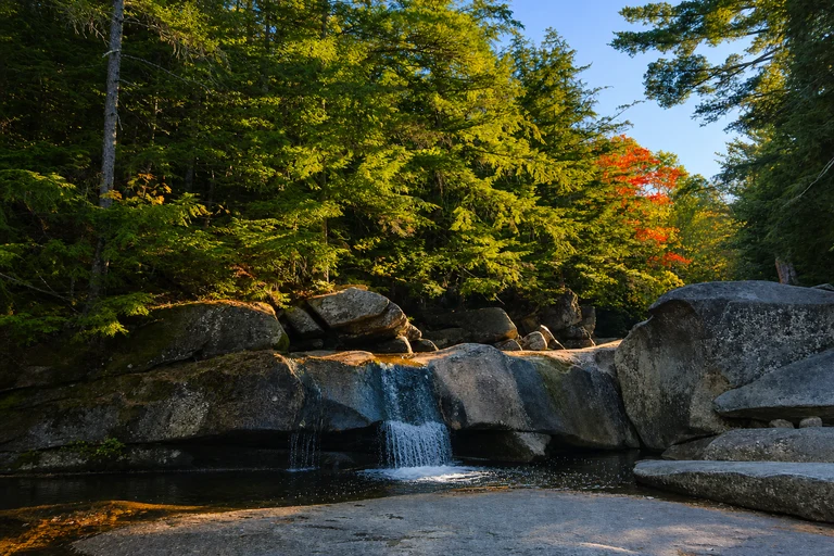
Screw Auger Falls — Maine
Screw Auger Falls is a compact Grafton Notch waterfall and gorge stop on ME 26, useful for a western Maine foliage corridor. Its historical window is late September to early October, subject to Maine’s weekly conditions.
The falls are reached by a short walk from parking. Stay behind railings, check state park notices, and allow for a possible day-use fee.
AI-created illustrative image; not a documentary photographAnyMappy · AI-edited from a rights-cleared reviewed reference · AI-generated editorial imageImage source

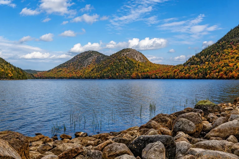
Jordan Pond — Maine
Jordan Pond provides a lake, mountain backdrop, and trail time within Acadia, making it a strong early-to-mid-October anchor. It is better suited to a dedicated park day than a rushed pass-through because the visit can take one to three hours.
Parking is limited. Use the fare-free Island Explorer when operating, check Acadia alerts, and carry the required entrance pass; restaurant and other services are separate.
AI-created illustrative image; not a documentary photographAnyMappy · AI-edited from a rights-cleared reviewed reference · AI-generated editorial imageImage source
.jpg)
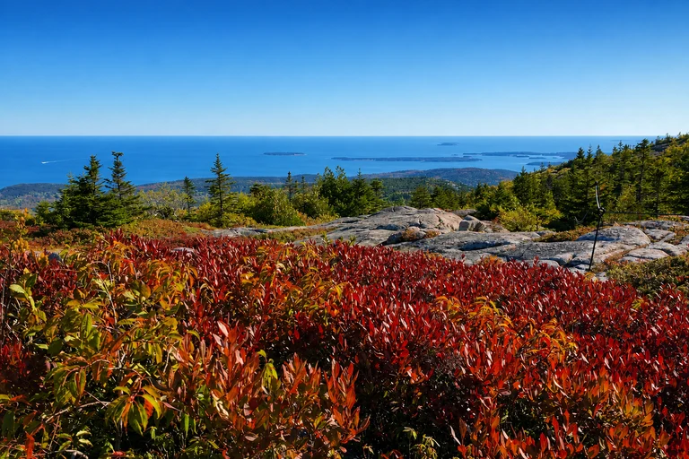
Cadillac Mountain Summit — Maine
Cadillac Mountain is a reservation-controlled summit drive for travelers seeking Acadia’s high viewpoint during the historical early-to-mid-October window. Fog and wind can obscure views, so it should not be the only scenic objective on the day.
Vehicle reservations are required during the designated season, in addition to an Acadia entrance pass. Verify the separate vehicle reservation fee, summit-road status, and current park conditions.
AI-created illustrative image; not a documentary photographAnyMappy · AI-edited from a rights-cleared reviewed reference · AI-generated editorial imageImage source
.jpg)
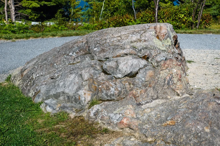
Frenchman Bay Overlook — Maine
Frenchman Bay Overlook is a short coastal counterpoint to Acadia’s inland ponds and mountain roads. Its historical early-to-mid-October window should be checked against Maine’s weekly foliage report and Acadia conditions.
It is the first scenic stop after Hulls Cove. Use designated parking and watch for pedestrians and cyclists; an Acadia entrance pass is required.
AI-created illustrative image; not a documentary photographAnyMappy · AI-edited from a rights-cleared reviewed reference · AI-generated editorial imageImage source
_1.jpg)
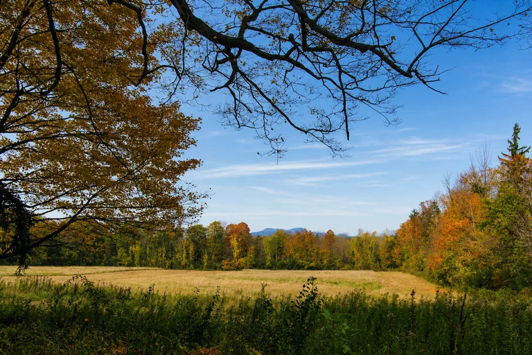
Mount Greylock Summit — Massachusetts
Mount Greylock offers a Berkshires summit viewpoint for a late-September-to-mid-October Massachusetts plan. Use it as a high-elevation anchor, then compare the timing with Massachusetts foliage information and DCR road reports.
The auto roads are seasonal and can close for weather. Check DCR notices before climbing, and verify whether a summit parking fee applies.
AI-created illustrative image; not a documentary photographAnyMappy · AI-edited from a rights-cleared reviewed reference · AI-generated editorial imageImage source

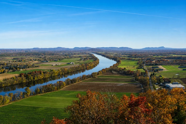
Mount Sugarloaf State Reservation — Massachusetts
Mount Sugarloaf adds a Connecticut River Valley summit and drive-up view to an early-to-late-October Massachusetts itinerary. Hiking provides an alternative when the summit road is not operating.
The auto road is seasonal, narrow, and may close. Check Massachusetts DCR notices, and verify whether a parking fee applies when the road operates.
AI-created illustrative image; not a documentary photographAnyMappy · AI-edited from a rights-cleared reviewed reference · AI-generated editorial imageImage source

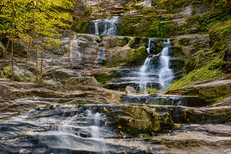
Kent Falls State Park — Connecticut
Kent Falls is a waterfall and picnic anchor for a mid-to-late-October Litchfield Hills route. It is a useful choice when you want a family-oriented stop with a defined park setting rather than a roadside viewpoint.
Parking capacity can trigger a temporary closure. Check Connecticut Parks alerts before arrival, and verify the possible nonresident parking fee.
AI-created illustrative image; not a documentary photographAnyMappy · AI-edited from a rights-cleared reviewed reference · AI-generated editorial imageImage source

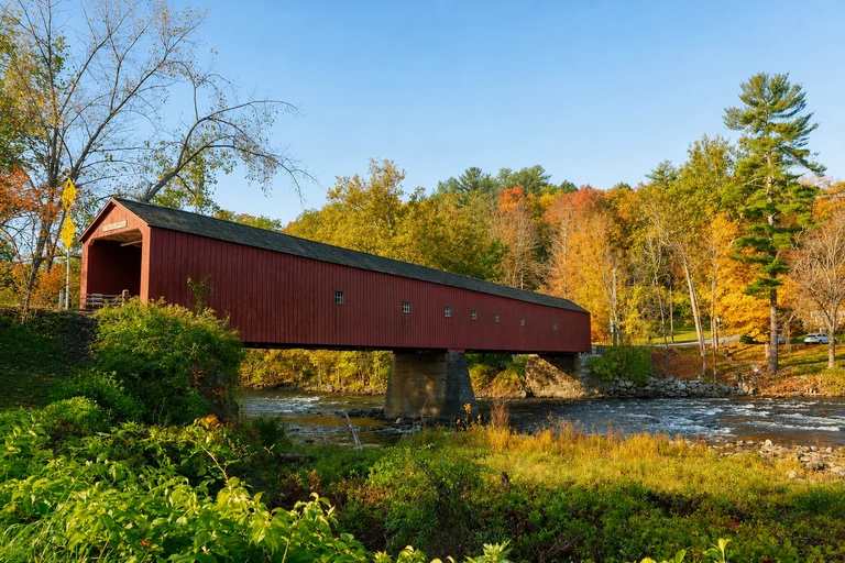
West Cornwall Covered Bridge — Connecticut
West Cornwall Covered Bridge brings a working historic bridge and river stop to the CT 7 and CT 128 corridor during the historical mid-to-late-October window. It pairs naturally with other Litchfield Hills pins.
The bridge carries traffic, so park legally nearby and keep clear of the roadway. No attraction admission is listed; Connecticut’s current foliage report can help set the day.
AI-created illustrative image; not a documentary photographAnyMappy · AI-edited from a rights-cleared reviewed reference · AI-generated editorial imageImage source

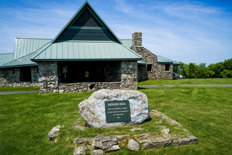
Dennis Hill State Park — Connecticut
Dennis Hill offers a summit pavilion and short trails for a quieter-feeling northwest Connecticut stop around mid-October. It can serve as an alternative to busier waterfall and bridge locations when the live report supports the area.
Seasonal road access and facilities vary. Check Connecticut Parks notices, follow posted rules, and verify whether a nonresident parking fee applies.
AI-created illustrative image; not a documentary photographAnyMappy · AI-edited from a rights-cleared reviewed reference · AI-generated editorial imageImage source
.JPG)
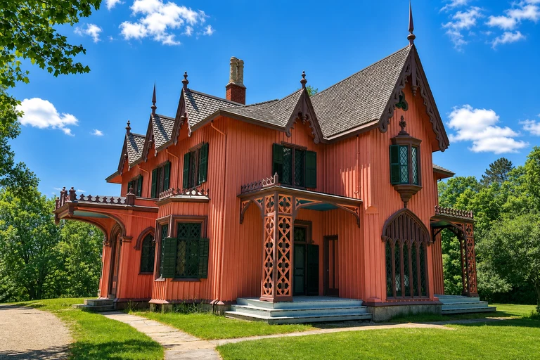
Roseland Cottage — Connecticut
Roseland Cottage is a historic house and village stop along Route 169, suited to a mid-to-late-October eastern Connecticut drive. Its value is cultural as well as scenic, giving a foliage route a planned indoor or estate-focused option when available.
Exterior viewing and site access depend on posted hours, and Route 169 is a working two-lane road. Grounds and tours can have different admission or access rules, so check before arrival.
AI-created illustrative image; not a documentary photographAnyMappy · AI-edited from a rights-cleared reviewed reference · AI-generated editorial imageImage source

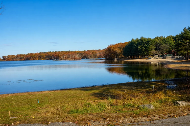
Lincoln Woods State Park — Rhode Island
Lincoln Woods provides a lake loop and urban-edge park option for mid-to-late-October foliage near Providence. It can be a practical southern New England stop when a full rural byway is not part of the itinerary.
Follow posted one-way and parking rules because trail and beach services are seasonal. General park access is typically free, but current seasonal services may differ.
AI-created illustrative image; not a documentary photographAnyMappy · AI-edited from a rights-cleared reviewed reference · AI-generated editorial imageImage source

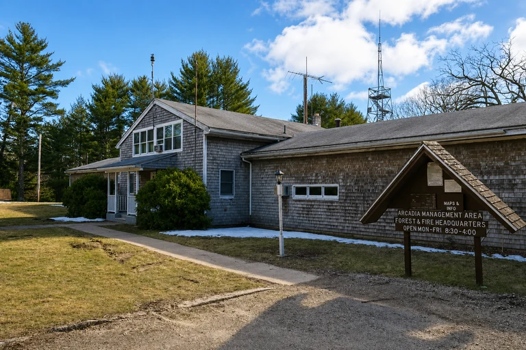
Arcadia Management Area — Rhode Island
Arcadia Management Area offers forest roads, ponds, and trails for a quieter mid-to-late-October Rhode Island outing. It is a flexible map choice for travelers who prefer multi-use landscapes and back roads over a single overlook.
This is an active management area, not a conventional attraction. Wear high-visibility colors during hunting seasons, follow DEM notices, and use the marked access rules; no general attraction admission is listed.
AI-created illustrative image; not a documentary photographAnyMappy · AI-edited from a rights-cleared reviewed reference · AI-generated editorial imageImage source

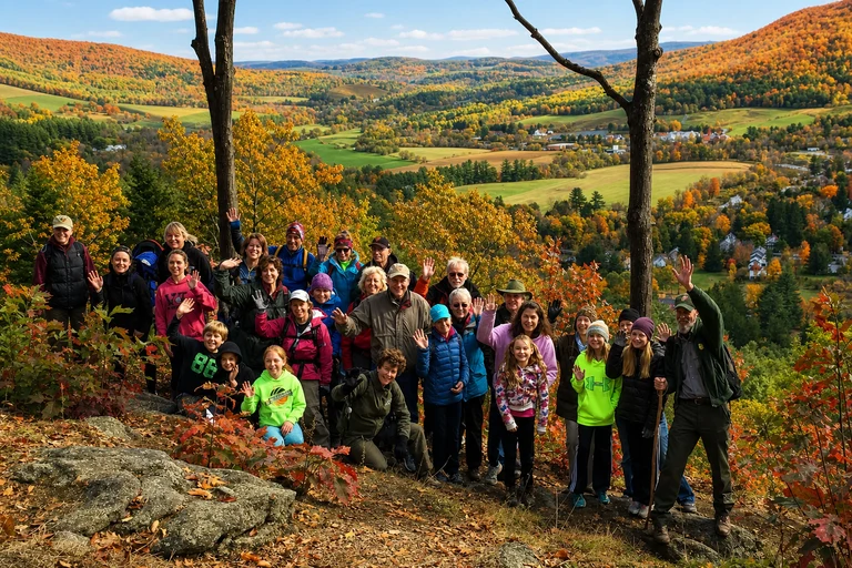
Marsh-Billings-Rockefeller National Historical Park — Vermont
Marsh-Billings-Rockefeller combines a historic estate, managed forest, and carriage-road walks near Woodstock, making it a substantial early-to-mid-October Vermont stop. It can complement Middle Covered Bridge without duplicating the same type of visit.
Park at the signed visitor area and check NPS seasonal hours, tour availability, and trail alerts. Grounds and trails are generally free, while guided mansion tours may require separate reservations.
AI-created illustrative image; not a documentary photographAnyMappy · AI-edited from a rights-cleared reviewed reference · AI-generated editorial imageImage source
.jpg)
When will New England peak foliage dates for 2026 be confirmed?
Exact 2026 peak dates are TBA. Use the live state foliage reports when they publish current conditions; the historical windows in this guide are planning ranges only.
Does foliage usually move north to south in New England?
Northern mountains and higher elevations usually color before southern and coastal areas, but weather can alter the sequence. Check the current report for the specific state and corridor you plan to visit.
Which map pins are on the Kancamagus Highway?
Albany Covered Bridge, Lower Falls Scenic Area, Rocky Gorge Scenic Area, Sabbaday Falls, and Pemigewasset Overlook are all on the Kancamagus Highway in New Hampshire.
Do I need to check parking before a foliage stop?
Yes. Parking can fill quickly at popular overlooks and attractions, and Kent Falls State Park may close temporarily when capacity is reached. Same-day park and road notices should be part of your departure check.
Does Cadillac Mountain require a reservation?
Vehicle reservations are required during the designated season. Cadillac Mountain also requires an Acadia entrance pass, and fog or wind can limit summit views.
Are all scenic roads open during foliage season?
No. Some roads are seasonal, narrow, winding, or weather-sensitive. Check access before driving to Smugglers’ Notch, Mount Philo, Mount Greylock, Mount Sugarloaf, and other managed sites.