The Loire Valley: a river, royal landscapes and inhabited heritage
The Loire Valley between Sully-sur-Loire and Chalonnes belongs because it presents a broad cultural landscape formed by interaction between the Loire, its irrigated land and its populations. Inscribed in 2000 under criteria (i)(ii)(iv), the property follows a 280-kilometre section of the middle river through Centre-Val-de-Loire and Pays-de-la-Loire. It includes the minor and major beds of the river, not merely a chain of castles.
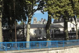
Its identity is layered. The Loire served as a communication and commercial axis from Gallo-Roman times to the nineteenth century, while ports and dyke systems record attempts to navigate and manage flooding. Market gardens, vines, villages, farms and towns show how the river shaped rural and urban organisation. Tufa and slate architecture, along with troglodyte dwellings, are grounded details that distinguish this landscape from a purely architectural château route.
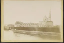
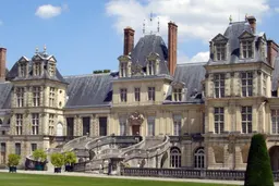
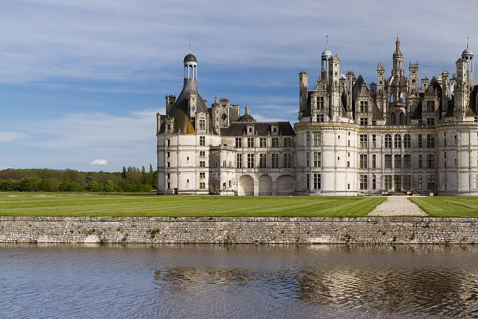
The castles—among them Chambord, Chenonceau, Amboise, Blois and Azay-le-Rideau—are part of a wider history in which fortresses and abbey sites were transformed into Renaissance country houses with gardens and views into the countryside. Romanesque churches such as Saint-Benoît-sur-Loire and Fontevraud add another layer. The property remains inhabited, cultivated and administratively complex, with public and private ownerships and multiple heritage, environmental and urban protections. Agricultural change, urban spread and major construction projects are identified as pressures, so the landscape should not be mistaken for a static museum.