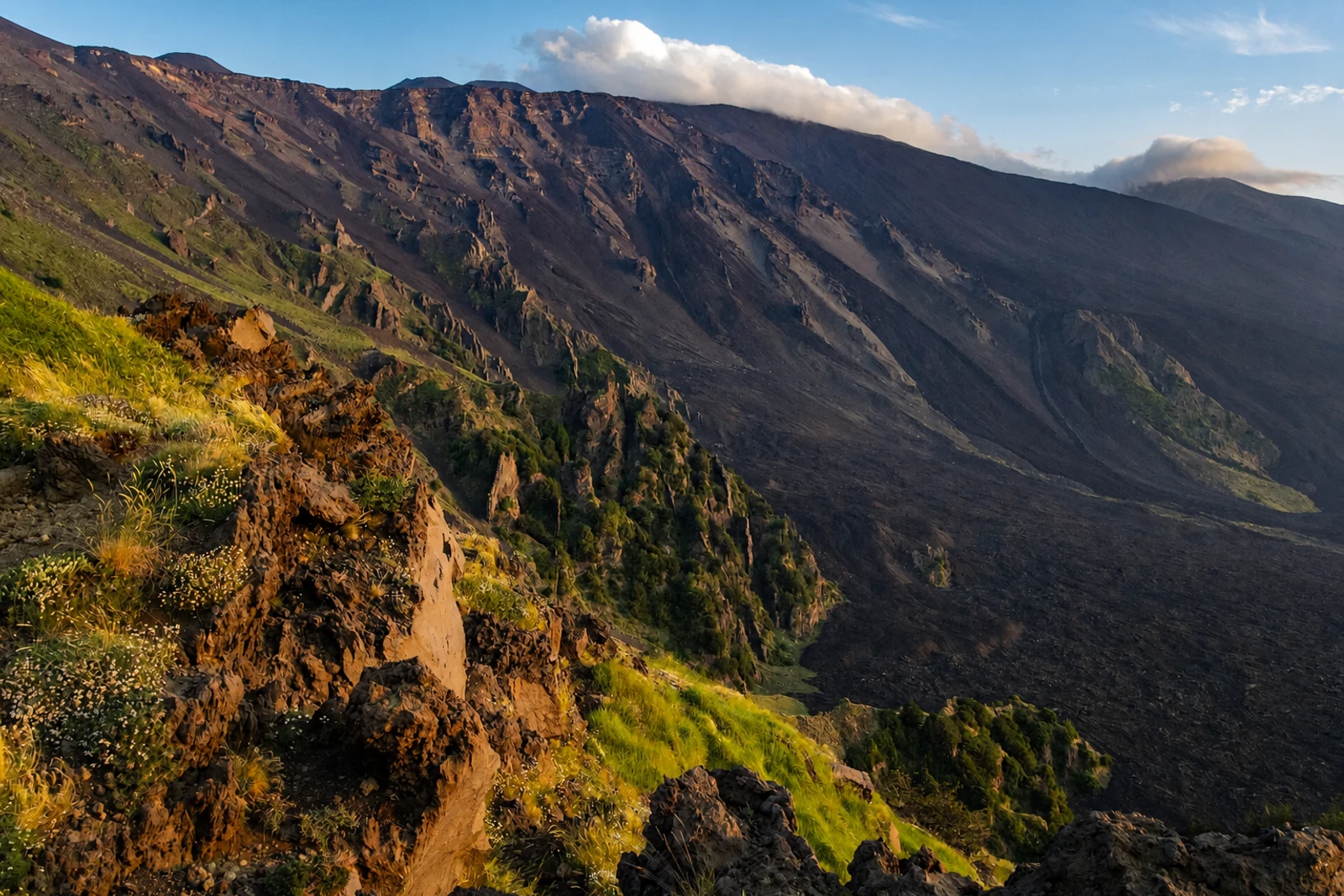
Mount Etna: an active volcanic landscape under strict protection
Mount Etna belongs as a natural World Heritage property whose significance comes from ongoing geological processes. Inscribed in 2013 under criterion (viii), the property covers 19,237 uninhabited hectares on the highest part of the volcano on Sicily’s eastern coast. It is the highest Mediterranean island mountain and the world’s most active stratovolcano, with an eruptive history traceable over 500,000 years and at least 2,700 years of activity documented by humans.
The recognised landscape contains summit craters, cinder cones, lava flows, lava caves and the Valle de Bove depression. These features make Etna important for research and education, while its activity supports terrestrial ecosystems that include endemic flora and fauna. It is also one of the best-studied and monitored volcanoes in the world, with more than 50 small seismic monitoring stations and a scientific observatory within the wider protected setting.
Do not treat the UNESCO property as identical to the tourism infrastructure in its buffer zone. The inscribed area has no permanent population, is free of roads and is restricted to research and recreation. Forest and mountain tracks are limited, and vehicle access is controlled for management and authorised activities. A 26,220-hectare buffer zone includes tourism zones with facilities such as accommodation, restaurants, a cableway and lifts. This boundary is the essential planning distinction: current access, organised activities and safety conditions must be checked with the park or relevant local authorities before setting out.