Pont du Gard: Roman water engineering across the Gardon
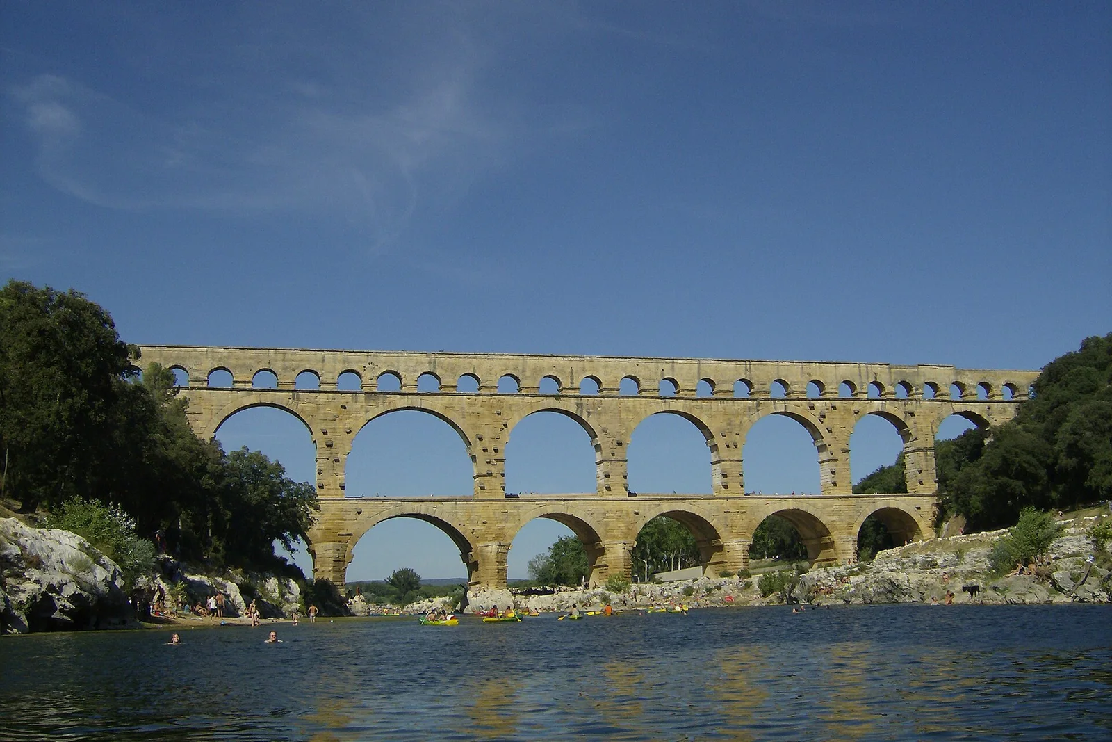
The Pont du Gard is the map’s most direct encounter with infrastructure made monumental. It is the major surviving element of the 50.02-kilometre aqueduct built in the middle of the 1st century to supply Nîmes, ancient Nemausus, from the Eure source near Uzès. The three-storey bridge rises nearly 48.77 metres and carries the conduit across the Gardon. UNESCO classifies it as cultural for its technical achievement, evidence of Roman construction and artistic effect within its natural setting.
What distinguishes it from a conventional bridge or isolated Roman ruin is the way engineering decisions remain legible in the structure. The three levels use arches of unequal dimensions; the lower levels contain juxtaposed voussoir rollers with engraved positioning marks, while the upper level uses smaller rubble to hold the canal’s flagstones. Lips in front of the piers respond to the Gardon’s sudden, destructive floods, and the principal lower arch is wider to facilitate water flow. Look closely at the stone dressing for quarrymen’s and stonecutters’ marks and assembly codes; the quarry itself is preserved about 600 metres away. The aqueduct stopped functioning around the beginning of the 6th century, and the bridge never resumed its original use. It is state-owned, protected under the Heritage Code and listed as a historic monument since 1840.