Aquileia: a Roman city still unfolding beneath the landscape
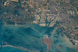
Aquileia belongs for the unusual completeness of its archaeological and early-Christian record. Founded as a Roman city in 181 BCE at the northern end of the Adriatic, on the Natissa River, it became a trading centre linking the Mediterranean with Central Europe. The property combines the archaeological area with the Patriarchal Basilica, so the map joins urban, commercial and religious evidence rather than presenting the basilica as a separate attraction.
The archaeological area covers 155 hectares and includes part of the forum and courthouse basilica, late-antique warehouses, baths, residential complexes, a cemetery and traces of the late Roman walls. The port installations are especially important for understanding the city’s commercial character: warehouses and quays stretch along the riverbank and were incorporated into fourth-century defences. Much of the amphitheatre and circus remains below ground, while substantial areas of the ancient city still lie beneath the modern town and agricultural land.
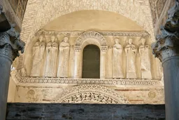
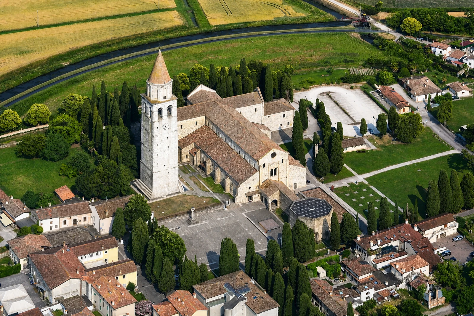
The Patriarchal Basilica provides the property’s most visually concentrated element, with an imposing mosaic floor from the early-Christian Theodorian church. Rebuilt between the 11th and 14th centuries in Romanesque and Gothic forms, it also reflects Aquileia’s role in the spread of Christianity into central Europe and its former patriarchal importance. This differs from Agrigento’s temple landscape and Pompeii’s preserved domestic streets: Aquileia is both an archaeological reserve and a layered religious centre. Water damage, flooding, groundwater and traffic are identified management concerns, while current conservation follows a policy of minimal intervention.