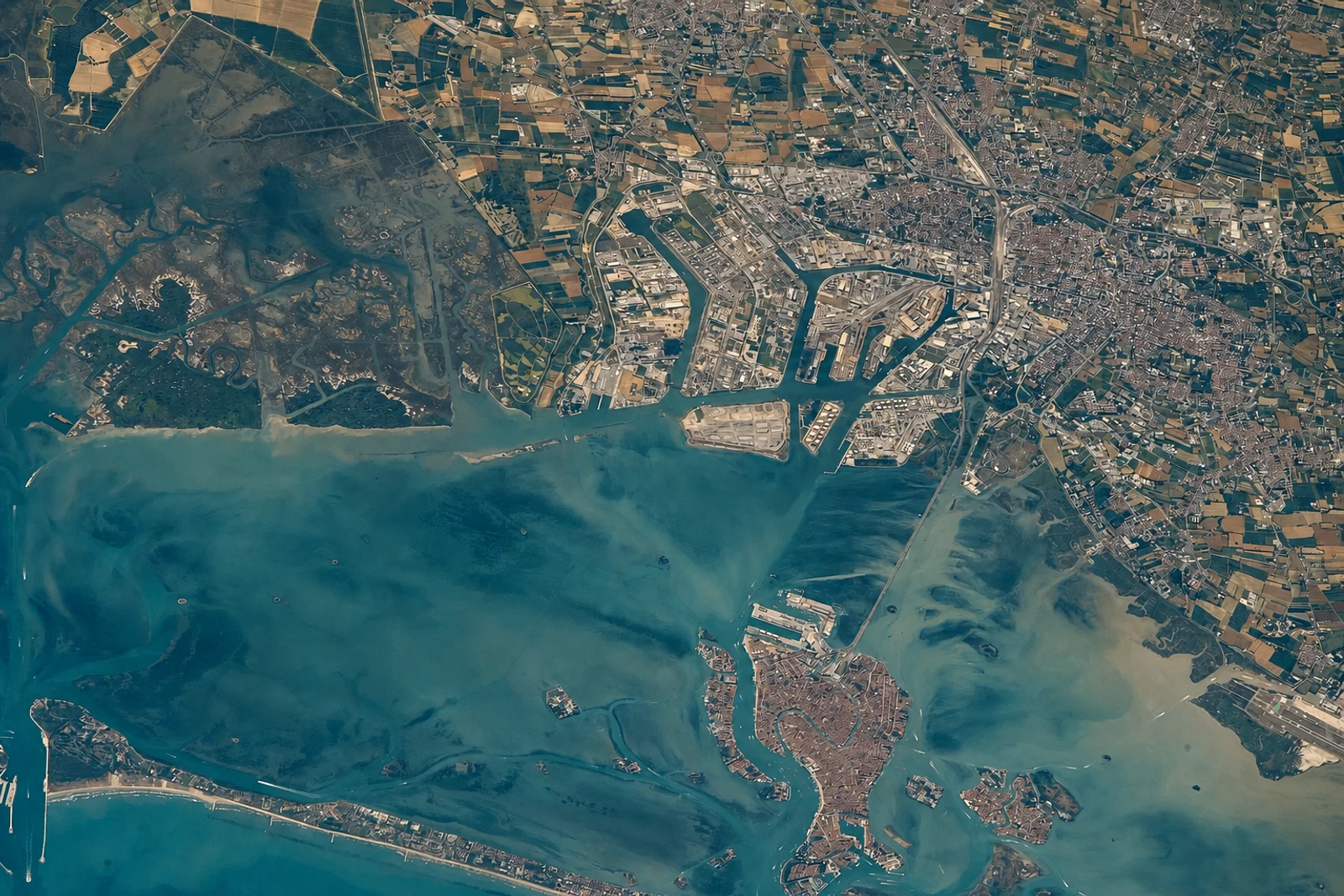
Venice and its Lagoon: a city inseparable from its water
Venice and its Lagoon belongs on this map because UNESCO recognizes the city and lagoon as one cultural property, not as separate urban and natural attractions. Founded in the 5th century across 118 small islands, Venice developed from settlements on Torcello, Jesolo and Malamocco into a major maritime power by the 10th century. Its significance lies in the interaction between human ingenuity and a changing lagoon environment.
The city’s form records that adaptation. Consolidated islands became an urban system of the Grand Canal, Giudecca Canal, St Mark’s Canal and smaller rii, while the wider lagoon retained settlements ranging from towns and fishing villages to Murano’s artisan community. Piazza San Marco, the Palazzo Ducale, major churches, Scuole, residences, hospitals and charitable institutions together show how architecture was adjusted to the special requirements of a city on water.
What distinguishes this property from a visit focused only on Venice’s monumental centre is its breadth. Torcello’s Cathedral, Santa Maria della Salute, San Giorgio Maggiore, the Frari and San Rocco sit within a wider landscape of muddy shelves, islands, pile-dwellings, fishing villages, rice-fields and archaeological sites around Altino. The lagoon is therefore not background scenery: its ecosystem and cultural settlements are integral to the property. Inscribed in 1987 as a cultural property under criteria (i), (ii), (iii), (iv) and (v), it rewards attention to both masterpieces and the living geography that supports them.