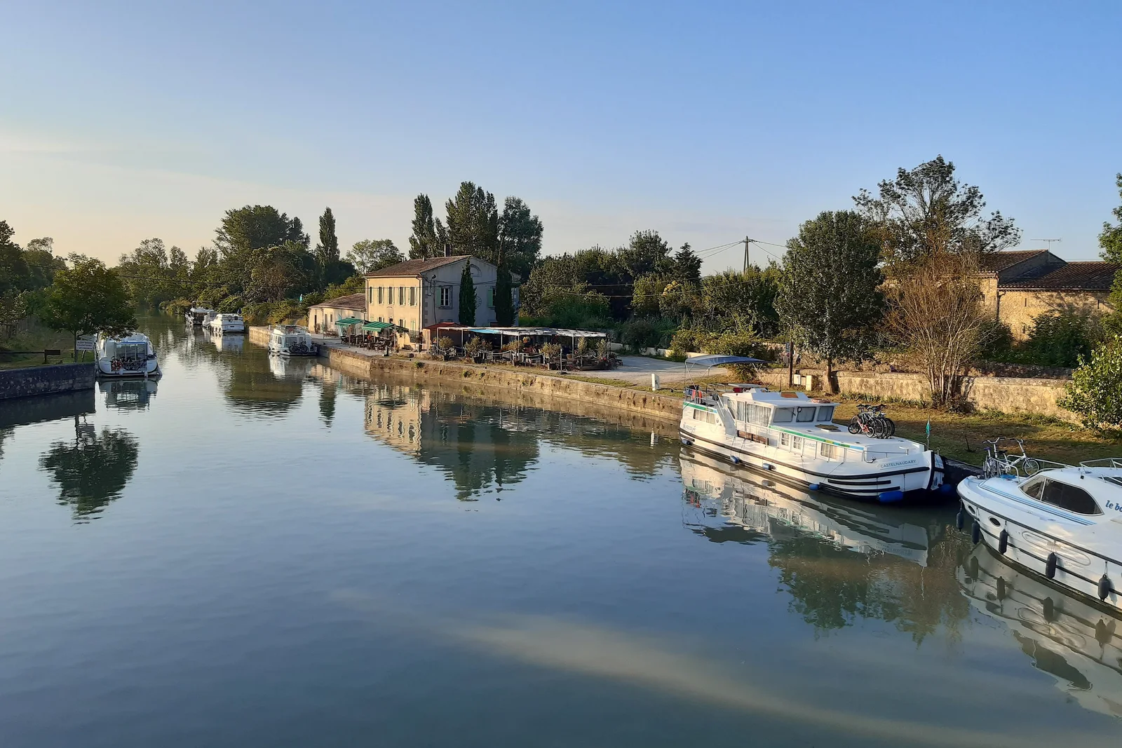
Canal du Midi: engineering shaped into landscape
The Canal du Midi belongs on this map because it joins civil engineering, transport history and designed landscape in one operating network. Built between 1667 and 1694, it extends for 360 navigable kilometres and incorporates 328 structures, including locks, aqueducts, bridges, spillways and tunnels. Its purpose was part of the wider Deux-Mers project linking the Mediterranean and Atlantic systems, but UNESCO’s interest also lies in the way technical innovation was made visually and architecturally coherent.
It is therefore different from a single historic canal structure or an isolated waterway viewpoint. The property has five elements: the main section between Toulouse and Étang de Thau at Marseillan, the section incorporating part of the Canal de la Robine, the branches meeting at Naurouze, the Saint-Pierre Canal and the short connection at Agde. That serial structure explains why one pin cannot represent the whole property.
Worth noticing are the relationship between water supply and engineering, the numerous types of structure, and the careful modelling of the surrounding landscape. The Saint-Ferréol dam on the Laudot River in the Montagne Noire is identified as the canal’s largest work and a major civil engineering site of its period. The canal remains in operation, while its trees and wider landscape are subject to ongoing conservation concerns.