Pyrénées–Mont Perdu: a mountain landscape shared across a border
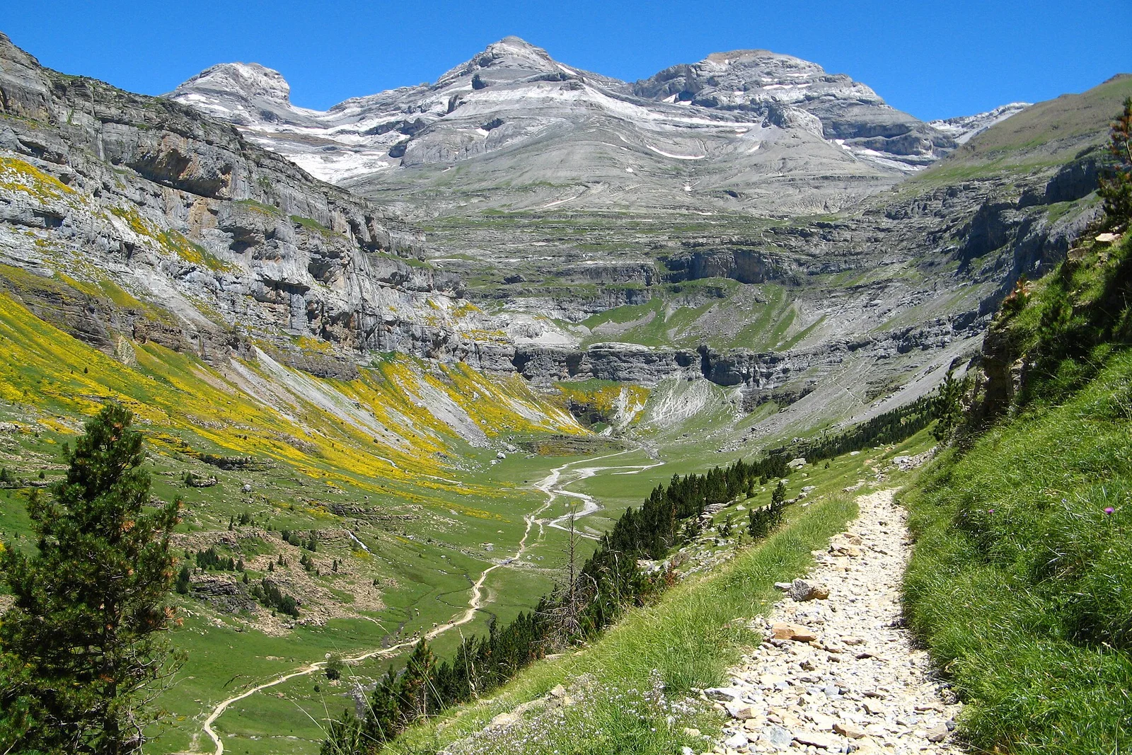
Pyrénées–Mont Perdu belongs because its value joins geology, scenery and a continuing pastoral system across France and Spain. UNESCO records it as a transboundary mixed property, inscribed in 1997 under criteria (iii), (iv), (v), (vii) and (viii). The massif is centred on Mont Perdu and includes meadows, lakes, caves and forests. On the French side, the northern slopes are marked by major cirque walls; the Spanish side contains deeply incised canyons. The contrast is part of the property rather than a reason to separate it.
The human landscape is equally important. Villages, fields, trails, bridges, houses and hospices describe an agro-pastoral system in which sheep, cattle and horses moved to higher summer pastures. High pastures such as Gaulis and Ossoue testify to transhumance that remains practised by communities adjacent to the property, and agreements allow Spanish farmers to graze herds on the French side. This is not simply a mountain viewpoint or a French national landscape: its meaning depends on cross-border connections, seasonal movement and the relationship between landforms and settlement. The differing maritime climate of the northern slopes and drier Mediterranean conditions to the south further explain why the two sides look and function differently.