Cilento: ancient routes across a living cultural landscape
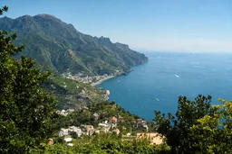
Cilento and Vallo di Diano belongs here for visitors who want heritage distributed through terrain rather than concentrated in one monument. UNESCO records it as a serial cultural property with three component parts: part of the national park, the archaeological sites of Paestum and Velia, and the Certosa di Padula. Covering 159,110 hectares, it includes mountains, river valleys, coastal areas, settlements and evidence of long interaction between people and nature.
The defining structure is a set of three east–west mountain ridges descending through valleys towards the Tyrrhenian Sea. Routes along the crests were used in prehistoric times, declined during the Roman era and returned in the Middle Ages. Prehistoric and protohistoric sites, medieval towns, castles, sanctuaries and religious establishments make that movement through the landscape visible. The region also marked a boundary between the Greek colonies of Magna Graecia and indigenous Etruscan and Lucanian peoples, giving Paestum and Velia a different significance from the later monastic complex at Padula.
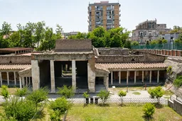
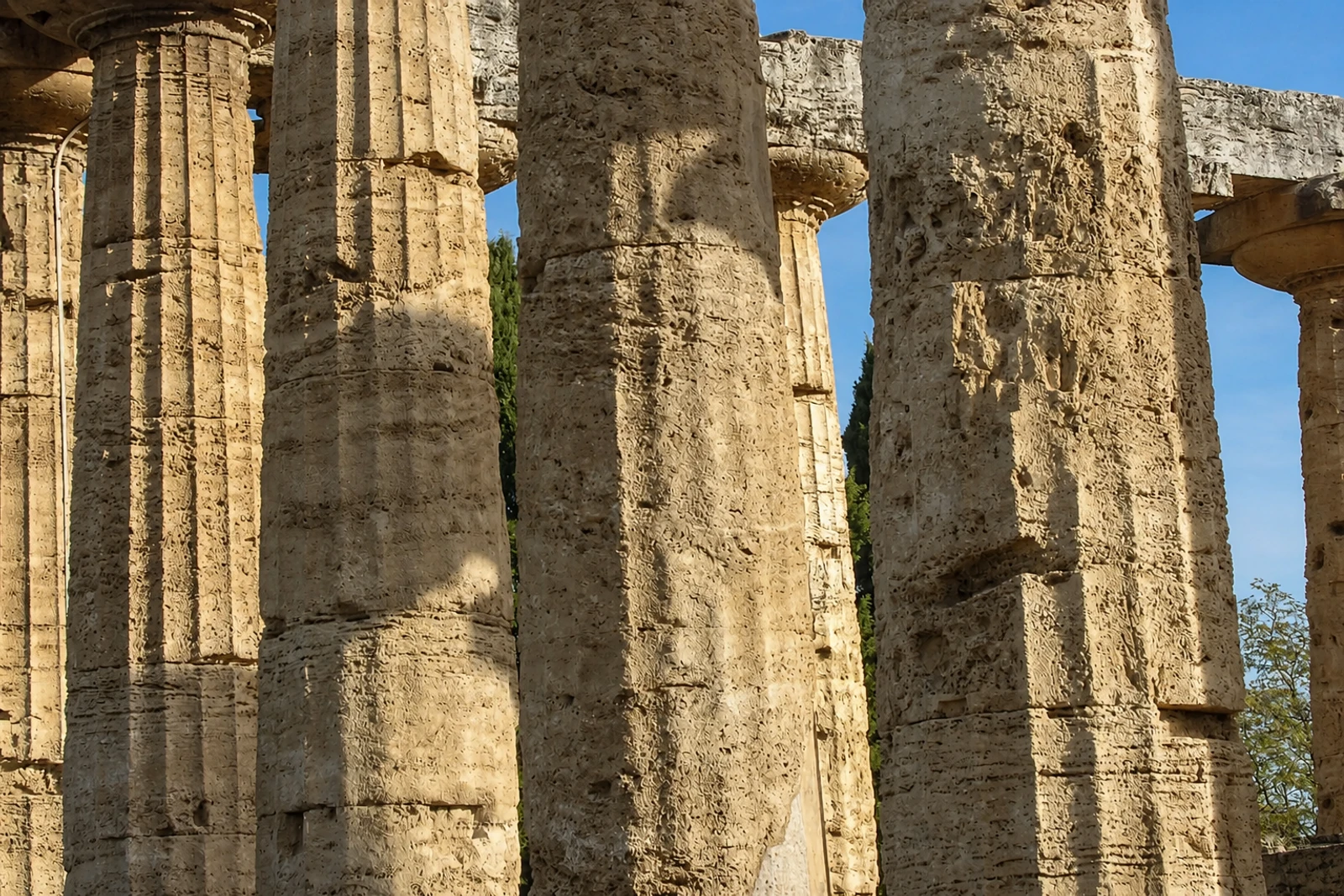
Paestum preserves the remains of Poseidonia, founded at the end of the 7th century BC, while Velia preserves the monumental remains of Elea, founded by Phocaeans in the second half of the 6th century. The Certosa di San Lorenzo at Padula began in 1306 and took its present Baroque form through later transformations; it now houses the Archaeological Museum of Lucanian Antiquities. These components should not be confused with separate UNESCO properties: they form one serial record. Inscribed in 1998 under criteria (iii) and (iv), the property also includes seaside landscapes and the Bulgheria mountains. Landslides, flooding and illegally constructed buildings are identified management concerns.