Costiera Amalfitana: where settlement follows the coast
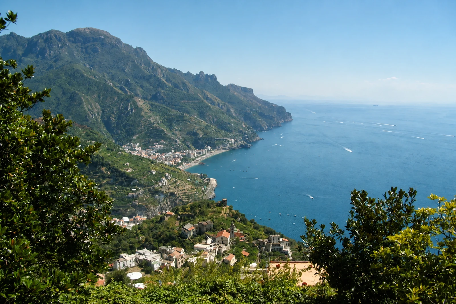
Costiera Amalfitana belongs here as a large cultural landscape in which steep terrain, historic settlements, cultivation and natural habitats are inseparable. The property covers 11,231 hectares, 15 municipalities, agricultural land and three natural reserves along the southern coast of the Sorrentine Peninsula. It is therefore broader than the popular idea of visiting one coastal town. The Lattari Mountains form its southern boundary and divide the Gulfs of Naples and Salerno.
The mapped property includes the coastal areas of Amalfi, Atrani, Reginna Maior and Reginna Minor, as well as Positano, Praiano, Cetara and Erchie. It also includes the villages of Scala, Tramonti and Ravello and the hamlets of Conca and Furore. Several historic centres flourished during the period of the Amalfi Sea Republic and contain artistic and architectural works that combine eastern and western elements in what UNESCO describes as an Arabic-Norman style.
The landscape’s most important details are often practical adaptations to difficult ground. Citrus groves and vineyards occupy suitable areas, terraced gardens descend towards the sea, and sheep-farming was practised higher up. Rocky areas, woods, maquis and varied habitats complete a landscape shaped by both natural diversity and human use. Palaeolithic and Mesolithic remains at Positano add an earlier layer to its history. Inscribed in 1997 under criteria (ii), (iv) and (v), the Costiera differs from Cilento through its coastal settlement pattern and terraces, while both require landscape-scale planning. UNESCO identifies environmental pressure, landslides, earthquakes and intense visitation in some urban areas, particularly vehicle traffic.