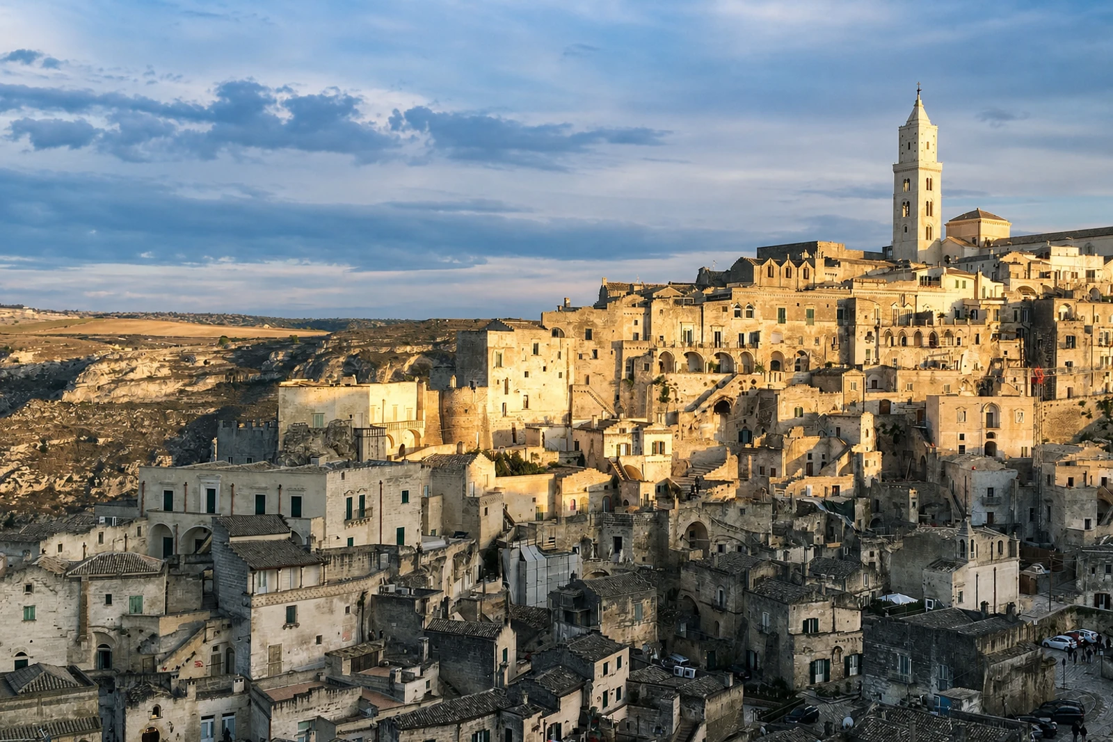
Matera’s Sassi: a cave settlement joined to the Murgia landscape
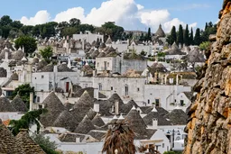
The Sassi and the Park of the Rupestrian Churches of Matera belongs on the map as a settlement-and-landscape property. Inscribed in 1993 under criteria (iii), (iv) and (v), it covers 1,016 hectares in Basilicata and includes more than a thousand dwellings, shops and workshops. Houses, churches, monasteries and hermitages occupy natural caves in the Murgia, a calcareous plateau cut by ravines, rocks and deep fault fissures.
Matera is not interchangeable with a historic stone town built above ground. Its significance comes from adapting occupation to the terrain over a very long span: the first inhabited zone dates from the Palaeolithic, and the property records continuous settlement through several millennia. The historic centre retains the distinction between Sasso Caveoso and Sasso Barisano, with Civita between them, alongside Casalnuovo and the later urban backbone called Piano. Across the ravine, the park adds rupestrian churches, shepherd tracks marked by wells and fortified farmhouses.
The property’s recent condition is part of its identity and planning context. The Sassi population was relocated in the 1950s to improve sanitation and renovate the districts; abandonment then caused some degradation. From the 1980s, the return of residents restored traditional use and function. A buffer zone protects the immediate surroundings, while national cultural-heritage rules and municipal management under Law 771/1986 govern recovery and authorised intervention.