Verona: a fortified city layered over two millennia
Verona belongs on this map as an historic city whose significance lies in the continuity of its urban structure. Situated on the River Adige at the foot of the Lessini Mountains, it developed from a prehistoric settlement into a Roman municipium in the 1st century BCE. Later Roman, medieval and Renaissance layers remain legible, making Verona different from a site centred on one ruling dynasty, church or monument.
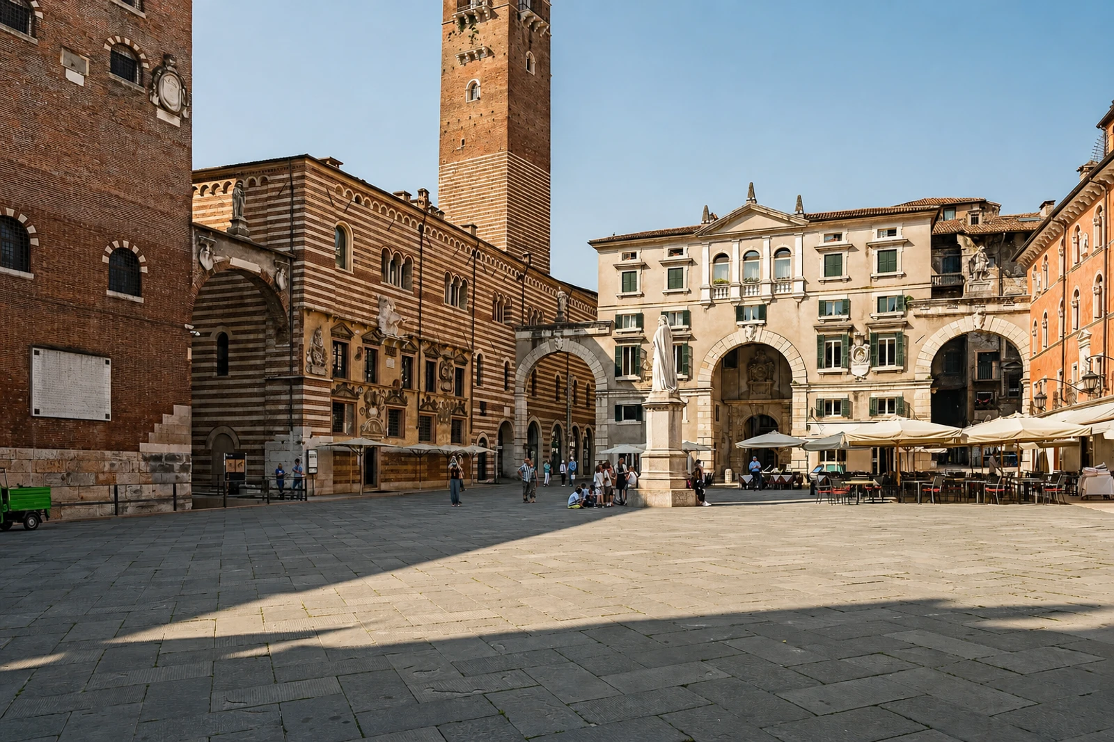
The Roman town sits within the loop of the Adige and retains a substantial group of ancient remains: Porta Borsari, the remains of Porta Leoni, the Arco dei Gavi, Ponte Pietra, the Roman theatre and the Amphitheatre Arena. The medieval and later city adds the Scaliger walls, Piazza delle Erbe, Piazza dei Signori and Piazza Bra. The city’s squares are particularly useful for reading its civic development, with the Palazzo del Comune, Palazzo del Governo, Loggia del Consiglio, Arche Scaligere and Domus Nova forming part of the historic core.
Verona’s distinction is the way fortified-town planning and successive artistic periods coexist. The Scaligers enlarged the walls around territory west of the river and on its eastern bank, while the surrounding defensive structure helped preserve the historic city’s coherence as later industrial and railway development occurred elsewhere. Significant wartime damage did not erase the original structure; the 1946 reconstruction plan maintained it. Inscribed in 2000 under criteria (ii) and (iv), Verona is best explored as an urban record rather than as a checklist of Roman attractions. UNESCO describes tourism as managed and identifies current threats as low, but visitors should still check present conditions before planning.