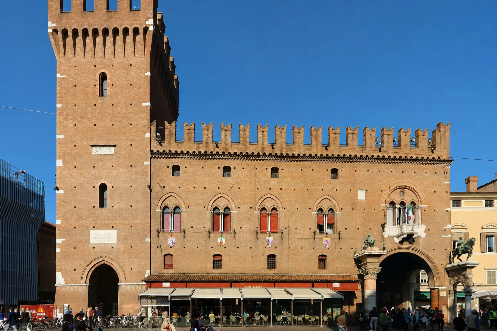
Ferrara’s planned Renaissance city and Po Delta
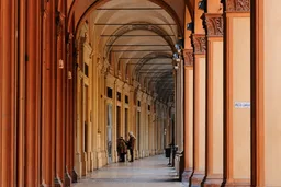
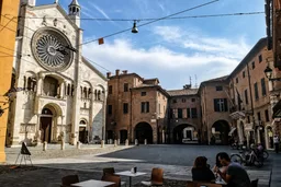
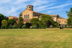
Ferrara belongs because its UNESCO significance joins urban design to the surrounding landscape. The property has two component parts: the historic urban centre and adjoining agricultural lands in the Po River Delta. Under the Este family, Ferrara developed from an important medieval centre into an intellectual and artistic capital, while roads, walls, palaces, churches and gardens were arranged as parts of an overall design rather than as unrelated monuments.
The city’s defining feature is the planned expansion associated with Biagio Rossetti. The Addizione Erculea, developed from 1492 onwards, used perspective to balance architectural form and volume with open space, local traditions and the city’s needs. Ferrara is therefore different from Florence’s concentrated artistic ensemble or Genoa’s palace district: its heritage question is how a Renaissance city was deliberately structured, with harmonious urban perspectives taking precedence over the isolated beauty of individual buildings.
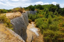
The Po Delta extends that planning logic beyond the walls. Between the fourteenth and sixteenth centuries, the Este carried out drainage of swampland, created waterways and streets, established estates and built noble residences known as the delizie estensi. These works formed a new agricultural fabric and connected courtly power with the countryside. The Cathedral of San Giorgio, Estense Castle and extended defensive walls remain within the urban story, but the property cannot be understood fully without its planned rural setting, whose Renaissance form remains recognisable in the region’s present layout.