Edinburgh’s two urban traditions in one World Heritage property
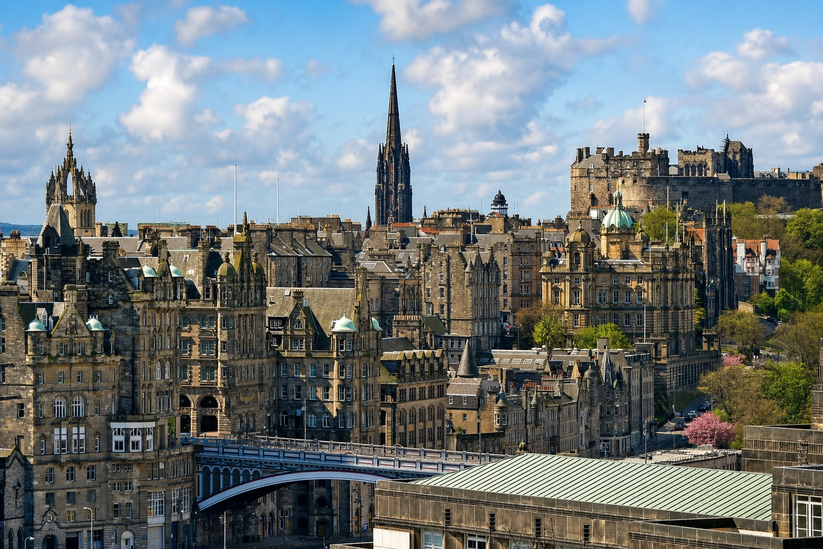
Old and New Towns of Edinburgh belongs on the map because its significance is unusually legible in the contrast between two connected urban systems. The Old Town follows an organic medieval ridge dominated by the Castle and descending towards Holyrood. The New Town is a planned neoclassical expansion on the plain to the north. Their juxtaposition, linked across Waverley Valley by the urban viaduct, North Bridge and the Mound, is the defining experience of the property.
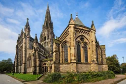
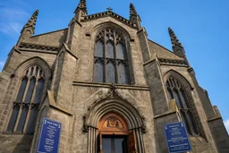
In the Old Town, narrow plots, lanes, closes, wynds and courts feed from the High Street, creating a medieval fishbone pattern and a tightly enclosed townscape. Tall tenements, merchants’ and nobles’ houses, the Canongate Tolbooth and St Giles Cathedral show how the historic city built upwards within constrained plots. The New Town presents the opposite approach: successive planned extensions, ashlar-faced neoclassical buildings, terraces, squares, gardens and large green spaces associated with architects including John and Robert Adam, Sir William Chambers and William Playfair.
This is not simply a choice between old streets and elegant Georgian buildings. The World Heritage property includes layouts, buildings, open spaces, views and the landscape divide between them. Its scale is extensive, covering 3,288 hectares, while the city remains an administrative, cultural and economic centre. That makes it different from compact Greenwich and from individual attractions elsewhere on the map. Use Edinburgh Waverley as the rail gateway, expect steep streets, and allow one to two days to read both townscapes.