A terraced Ligurian coast built around difficult ground
This property belongs on the map because UNESCO recognises the eastern Ligurian coast as a cultural landscape, not merely a collection of picturesque villages. Stretching 15 km between Levanto and La Spezia, it includes Portovenere, Palmaria, Tino and Tinetto, and the five Cinque Terre villages: Monterosso, Vernazza, Corniglia, Manarola and Riomaggiore. Its defining achievement is the long interaction between communities and steep, uneven terrain, expressed through settlements, cultivation and infrastructure.
The terraces are the clearest distinction from nearby coastal places that may be visited for scenery alone. Stone-walled platforms for vines and olive trees rise from near sea level to 400 metres, with some extending as much as 2 km. Their sandstone drystone walls, built with pebbles removed from the ground, depended on communal maintenance. Higher ridges retain garrigue and maquis vegetation, so the property joins cultivated slopes with habitats supporting insects and animals.
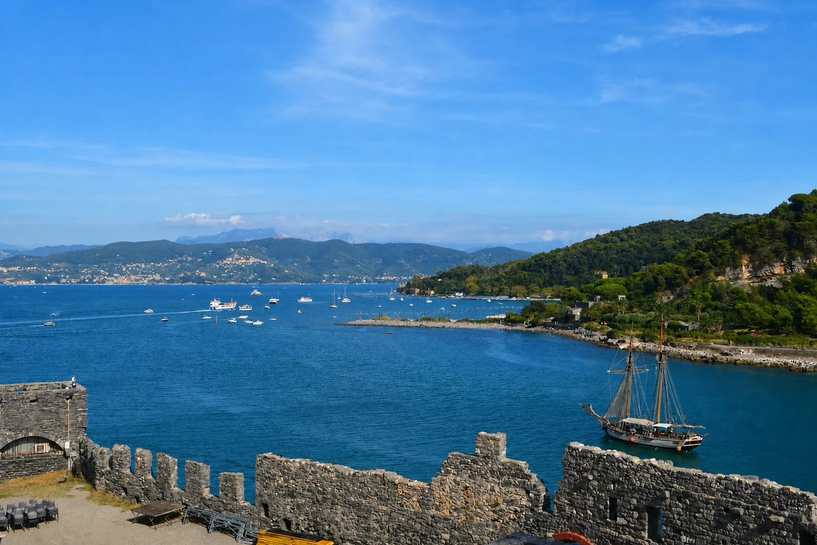
The villages do not form a uniform coastal type. Monterosso grew along two short valleys and faces one of the area’s few beaches; Vernazza lies beside the Vernazzola stream on a rocky spur; Corniglia occupies a high promontory rather than the shore; Manarola follows a spur and the Grappa stream; and Riomaggiore lines the covered Rio Maggiore valley. Portovenere is a compact historic centre ending at Doria Castle, while the offshore islands add early monastic remains. Small hillside hamlets, natural-stone roofs and harvest huts complete the landscape’s human scale.