Val d’Orcia: a Renaissance agricultural landscape, not just a view
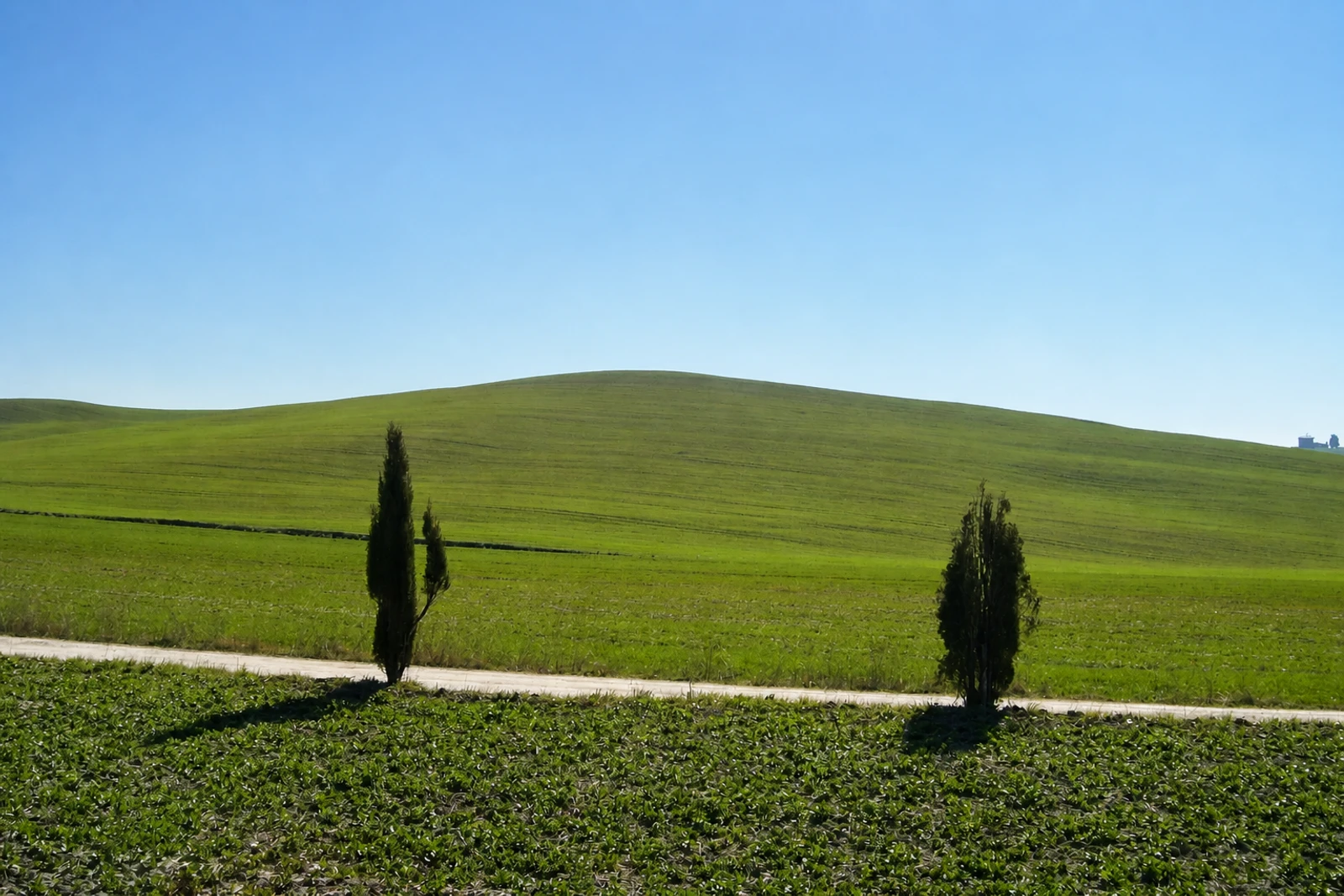
Val d’Orcia belongs because its scenery is the visible result of territorial design. Inscribed in 2004 as a cultural property, it retains much of the Renaissance layout, character and aesthetic imposed on Siena’s agricultural hinterland during the 14th and 15th centuries. Flat chalk plains, low conical hills and fortified settlements create a recognisable composition, but the inscription covers a working landscape of farms, villages, routes and pastoral land rather than a single lookout.
Its key distinction is the connection between governance, agriculture and visual harmony. Sienese merchants invested in productive farmland, settlements, fortifications, villas and churches, while a land-tenure framework shaped relations between small landowners and merchants. The landscape also carries older and later layers: Etruscan and Roman evidence, monasteries, villages and the Via Francigena with its abbeys, inns, shrines and bridges. Pienza is included among the area’s hill towns but is itself a separate World Heritage property, an important identity distinction.
When reading the map, look for networks rather than isolated postcard elements. Montalcino, San Quirico d’Orcia, Castiglione d’Orcia, Rocca d’Orcia, Monticchiello and Radicofani sit among grain, vines, olives, fruit, vegetables, hay meadows and pasture. Cypress groups and avenues mark routes and settlements. The property boundary coincides with the modern Val d’Orcia regional park, created through the initiative of five municipalities to protect cultural and natural values.